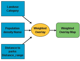
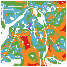
I was wondering if anyone could help me figure out how to compress landscape information from multiple rasters (or polygons) into a single output. Basically, I want to explore how landscape characteristics affect the spatial distribution of a population. As of now I envision a raster with unique values for each combination of slope, aspect, forest type, elevation, and population number (all variables separately re-classified then compressed into one output). Does anyone have any ideas? I don't think this is the same 'stacking' as making a multi-band mosaic because all the information covers the same area...this is not jigsaw-puzzling separate locations together, they all have the same surface area and shape. I could be wrong though.
Regarding the statistics, I was also wondering if after compressing the information into one raster/polygon, I can look at the population as a whole rather than randomly sampling from it across the landscape because each rastercell has a value.
This is also time sensitive (due next week!) so any guidance would really help!


