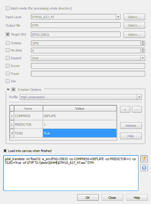
I have several raster grids, all 4320 columns, 2160 rows in WGS 84 projection. They are loaded from ESRI ascii files. When I use the Processing Toolbox to carry out arithmetical transformations on the grids (e.g. multiply one by another, divide one by another) the resulting grid is correct, but offset from the original projection by some number of pixels. The layer purports to be in WGS 84, but clearly isn't.
Currently I am working round the problem by using the raster package in R, but it seems to me that the QGIS functions are broken (unless I am missing something obvious).

