The introduction of Bing Imagery with the release of ArcGIS 10.0 provided a fantastic means to very quickly produce Site Location Maps. Prior to its' introduction, I was using a GIS server connection to www.geographynetwork.ca_80 for site location maps. I highly preferred using Bing, mostly for aesthetic reasons.
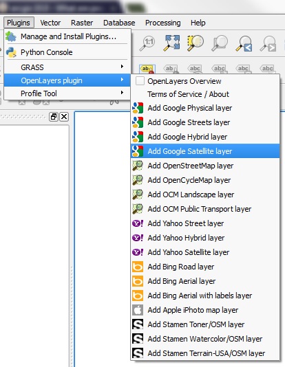
Now that Bing no longer available (without buying a licence), I wondered what others are using as a replacement. I find the options available under the "add basemap" dropdown in ArcMap to be far from appealing. Often, I find the placement of the citation information to be rather inconvenient. The resolution is often very poor as well (such as when using the "Open Street Map" or "Imagery options"). The labels are often fuzzy and hard to read as well.
What are those of you who don't have a Bing subscription using?
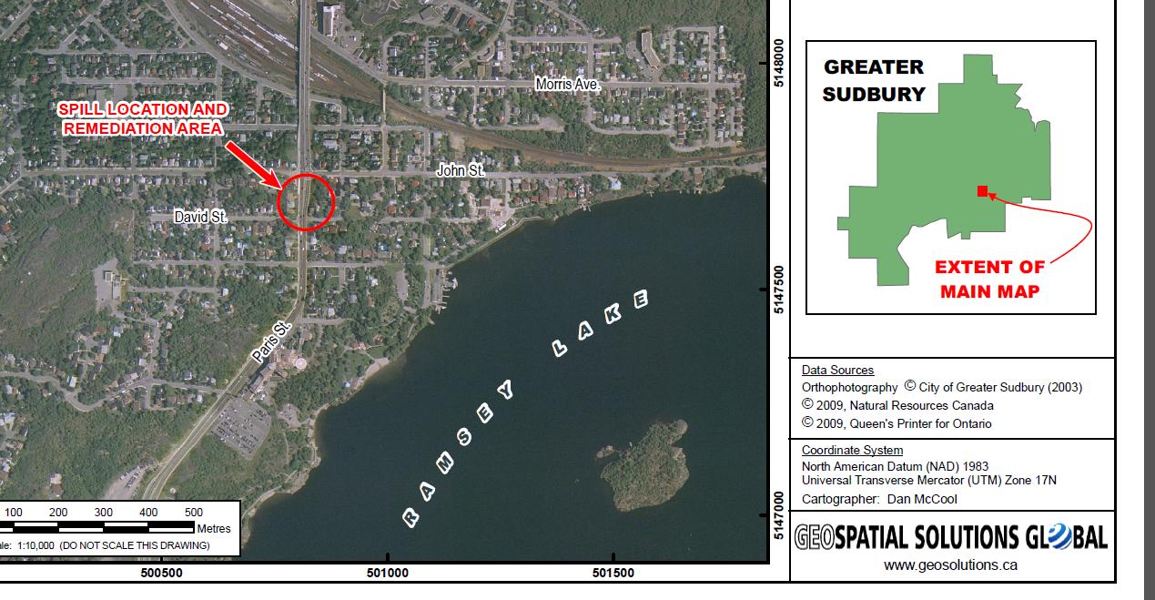
Below, Is a picture to demonstrate what I meant by "Site Location Map". In many cases - not always - it is faster and simpler to just use an air photo or satellite image to show where something is. Point to the study area, label a few roads .... done!!


