Trying to follow the suggestions on this thread: splitting a lines layer using points
However, how to do so in a windows environment using the GRASS command console is beyond me, so I'm attempting with the Python Console (still with no success).
used v.out.ascii module to create .txt of XY coordinates (xycoord.txt)
file = xycoord.txt
for x, y in file:
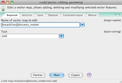
    grass.run_command('v.edit', map='reshydPART_Pirae', tool='break', coords='x,y')

ValueError: too many values to unpack
Does anyone have any suggestions? I wonder if it has to do with the ascii.output file I'm providing (there are newlines in my txt file). I'm feeling a little lost, especially regarding what to put for the coords parameter. I also can't tell what my error is due to. Thanks in advance.


