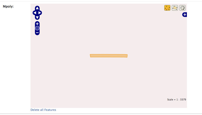
I've been having issues visualising data from a shapefile in GeoDjango using OpenStreetMap. I believe it's some sort of a scale issue because of how it appears (as you can see in the screenshot of the admin interface).
I've stored the data in a PostGIS database and set up the model using django as advised in the documentation. Another interesting thing to note is that loading up the data using QGIS works perfectly and looks exactly like the shapefile. Any ideas as to what I should try next?
I'd also be happy to post any code if people need to see it but I am new to GIS stuff and don't quite know what anyone would need to see right away.

