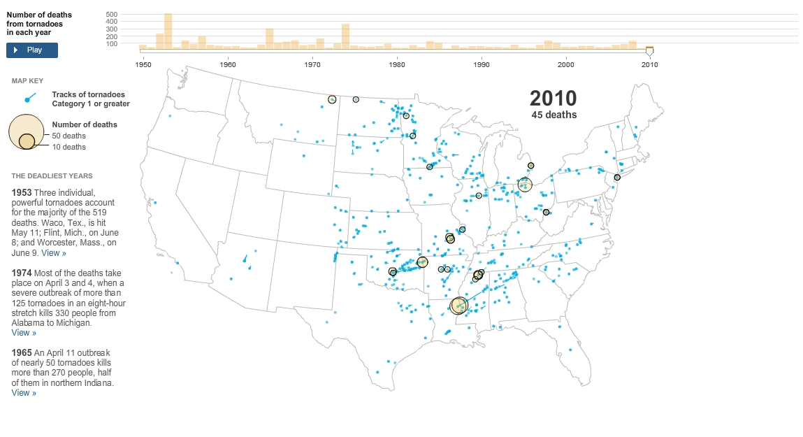
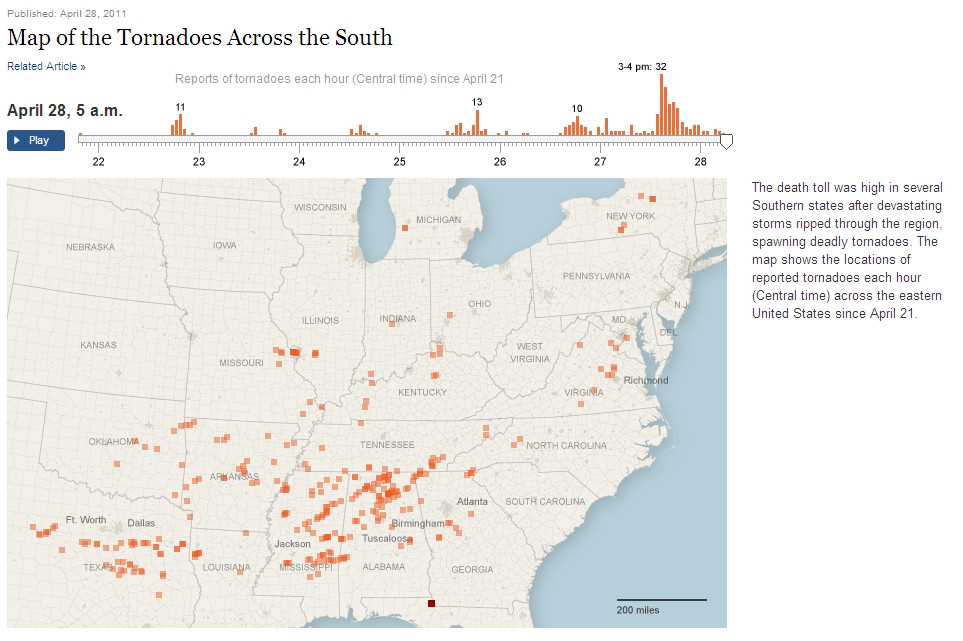
I stumbled upon NY Times' web map of deaths from tornadoes in US.
Can you point me to some more interesting examples of geo-visualization and/or geospatial analysis of natural disasters and their consequences?
I stumbled upon NY Times' web map of deaths from tornadoes in US.

Can you point me to some more interesting examples of geo-visualization and/or geospatial analysis of natural disasters and their consequences?
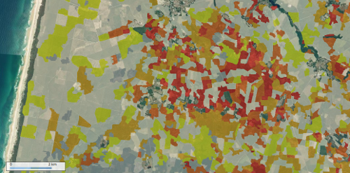
In the French geoportal, there is a data layer showing the consequences of the storm Klaus (january 2009) on the forested areas at the parcel level.
Tilemill has a few good examples with earthquakes, such as this one from Japan, and this interactive map application.
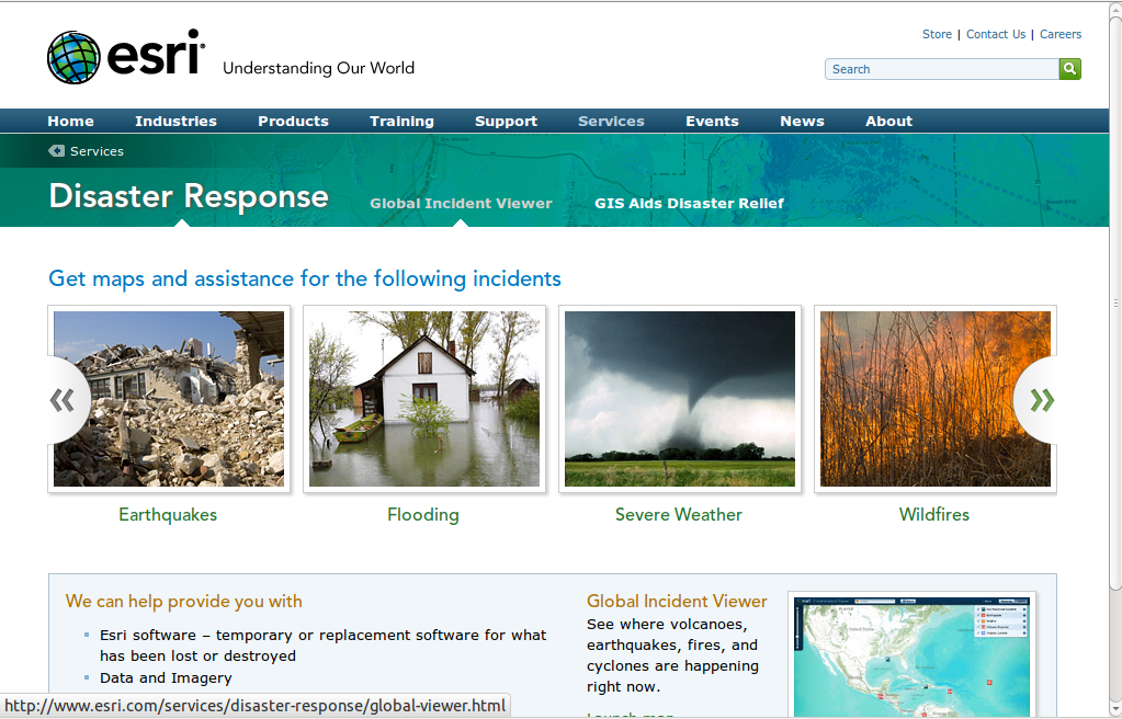
Esri's disaster response site has several such examples:
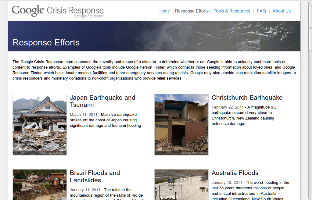
Google Crisis Response is another such resource:
GIS Use in Public Health and Health Care blog has a list of US tornado related visualizations, among them this NY Times one:
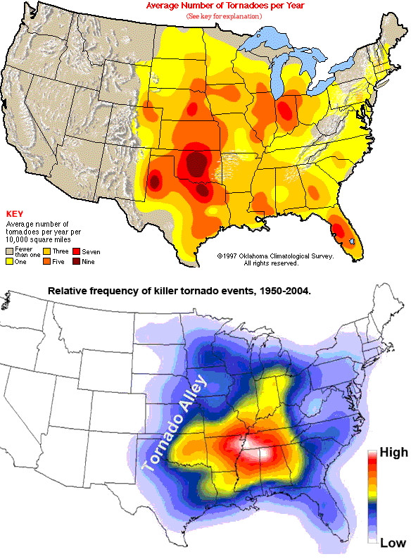
Apparently in US tornadoes frequency doesn't correlate with amount of deaths@
Quote from their About page: "The Japan Quake Map on this website presents a time-lapse visualisation of the Sendai earthquake and its aftershocks, primarily to help those outside the affected area understand what the people of Japan are experiencing. It plots earthquake data from USGS on a map using the Google Maps API, with the size of the circle denoting the magnitude (the higher the magnitude, the larger the circle) and the colour showing the focal depth (see the legend below the map)."
In response to the Tohoku Earthquake and Tsunami Mar 11th 2011, the Harvard Center for Geographic Analysis has launched this web portal.
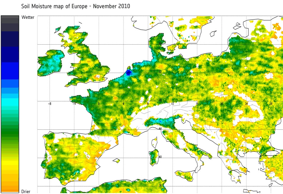
The drought in a part of Africa this year caused the biggest in 60 years famine in this particular region. The range of this phenomenon is precisely and constantly documented by the European SMOS satellite (Soil Moisture and Ocean Salinity Satellite)
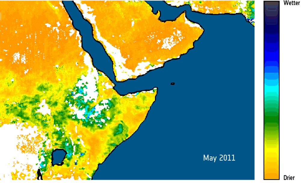
UPDATE: Drying of soils in Central and Eastern Europe
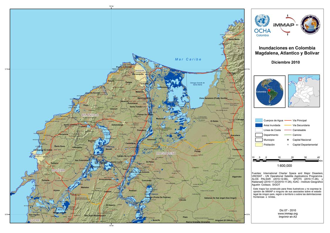
The Colombian mission of the United Nations Office for the Coordination of Human Affairs (UN OCHA) produced a map collection for the 2008 and 2010 floods in Colombia as well as other natural disasters.
