I am relatively new to QGIS.
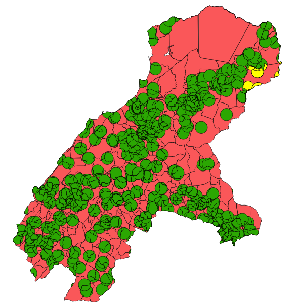
I am looking at the percentage of an population that has geographical access to healthcare. Therefore I have one shapefile with village boundaries including population number of each village. Another shapefile is all Healthcare facilities in the area buffered with 5km zones. I now want to calculate the percentage of the village area that is covered by the Healthcare facility buffers and multiply this by the my population numbers.
I did manage to create an intersect shapefile of the two formal shapefiles that created correct new polygons of intersection per village. I now, however, do not know how to sum the areas (Area_1) of all these buffer polygons which are coded equally in the attributable table (under P_06_ID) and divide this by the total village area (AREA). And then multiply this number by the population (Population).


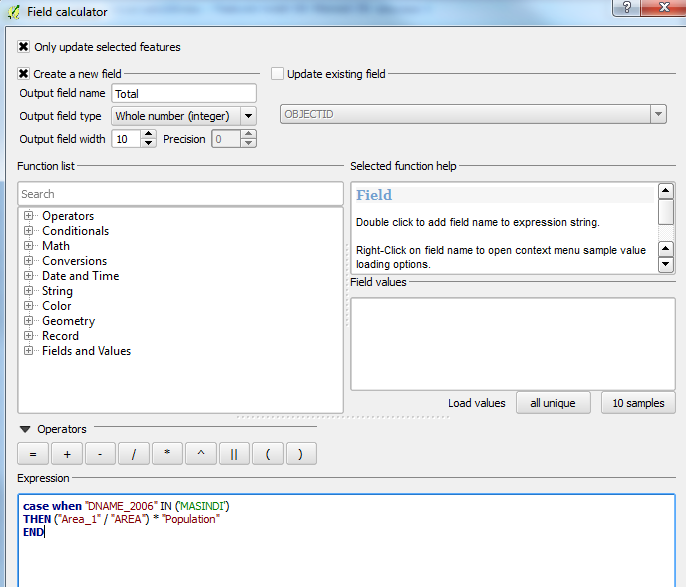
The command does indeed calculate the percentage of the population that overlaps with that specific polygon. However it still does not sum the different polygons.

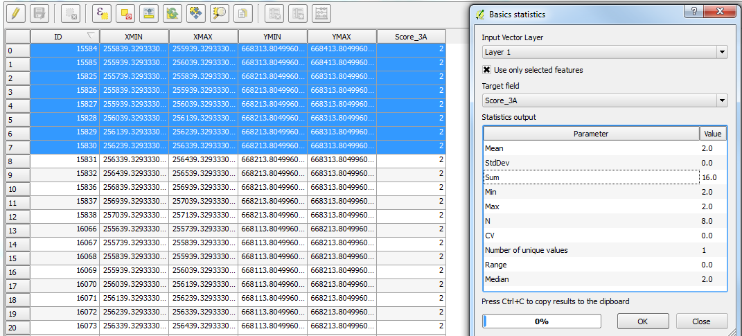
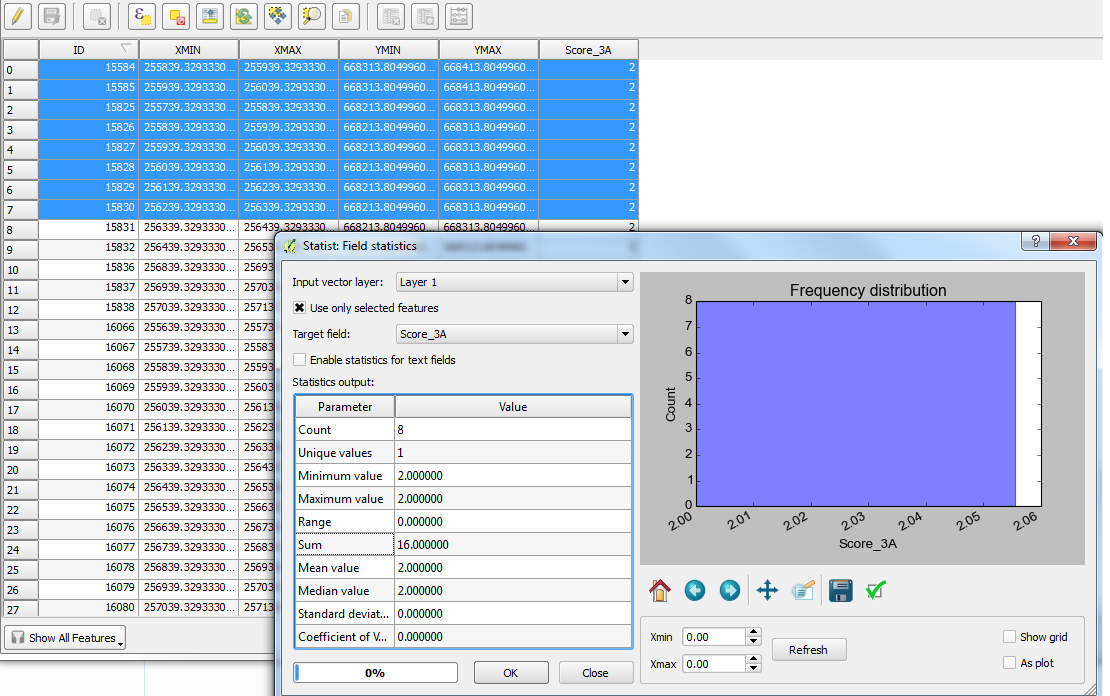
So what I now want to do is to sum those numbers with the same parish ID automatically (I do have around 500 parishes). So in this example sum PopPerc from cell 699- 709.
Any suggestions?


