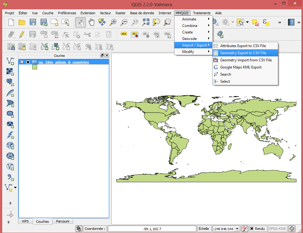
I am trying to export polygon coordinates from a shapefile to a CSV file, but so far all my attempts have failed. I have found numerous questions and answers about this, but none have solved my problem.
I have downloaded the file
www.naturalearthdata.com/http//www.naturalearthdata.com/download/10m/cultural/ne_10m_admin_0_countries.zip
which is a shapefile containing a basic world map. I have imported the shapefile into QGIS by adding a vector layer, and then I try to export the polygons with coordinates for each country. The tips that I have found suggest either saving the layer by right-clicking it and then selecting Save as or opening the attribute table and copying it into Excel. If I try these I only get master information with one row for each country in the map.
Does anyone know how I can retrieve detail information for each country containing the polygons with coordinates?

