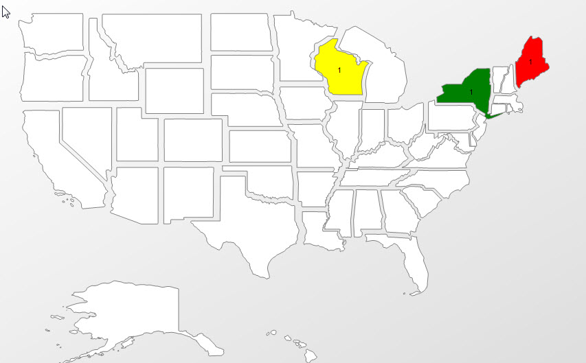
Does anyone know where I can get data like this for north America (for use in SSRS). It does not have to be exploded. If I add Bing maps my 36 page PDF is 250MB when exported!

From Census TIGER USA Shapefile
This is a dataset compiled by the Census. Complete State boundary shapefile for the United States
I've used the Natural Earth shape files - they are great and cover all countries down to an incredible level of detail (railroads!):
http://www.naturalearthdata.com
Laurent Dupuis has shared his amazing project which shreds ALL of the natural earth data (including all the dbf attributes) straight from the zip file you download, into SQL tables (that his code creates), including a common table with a Geography datatype column.
I was able to start using this with minimal effort - I just added a few indexes for performance. He is a genius!
For what you are trying to do I suggest joining to the table for 1:110m admin states provinces - I don't have the table names in front of me but it should be fairly obvious (maybe ne_110m_admin_1_states_provinces). Follow Laurent's SQL example (substituting your chosen table and you are off and running for your SSRS shapes layer.
If the census ftp site is unresponsive, this states shapefile is derived from the Tiger counties:
http://www.nationalatlas.gov/atlasftp.html?openChapters=%2Cchpbound#chpbound
I've used the North American Atlas dataset from geogratis at http://geogratis.gc.ca/geogratis/DownloadDirectory
I can't say how accurately they map the USA states (ie, up-to-date).