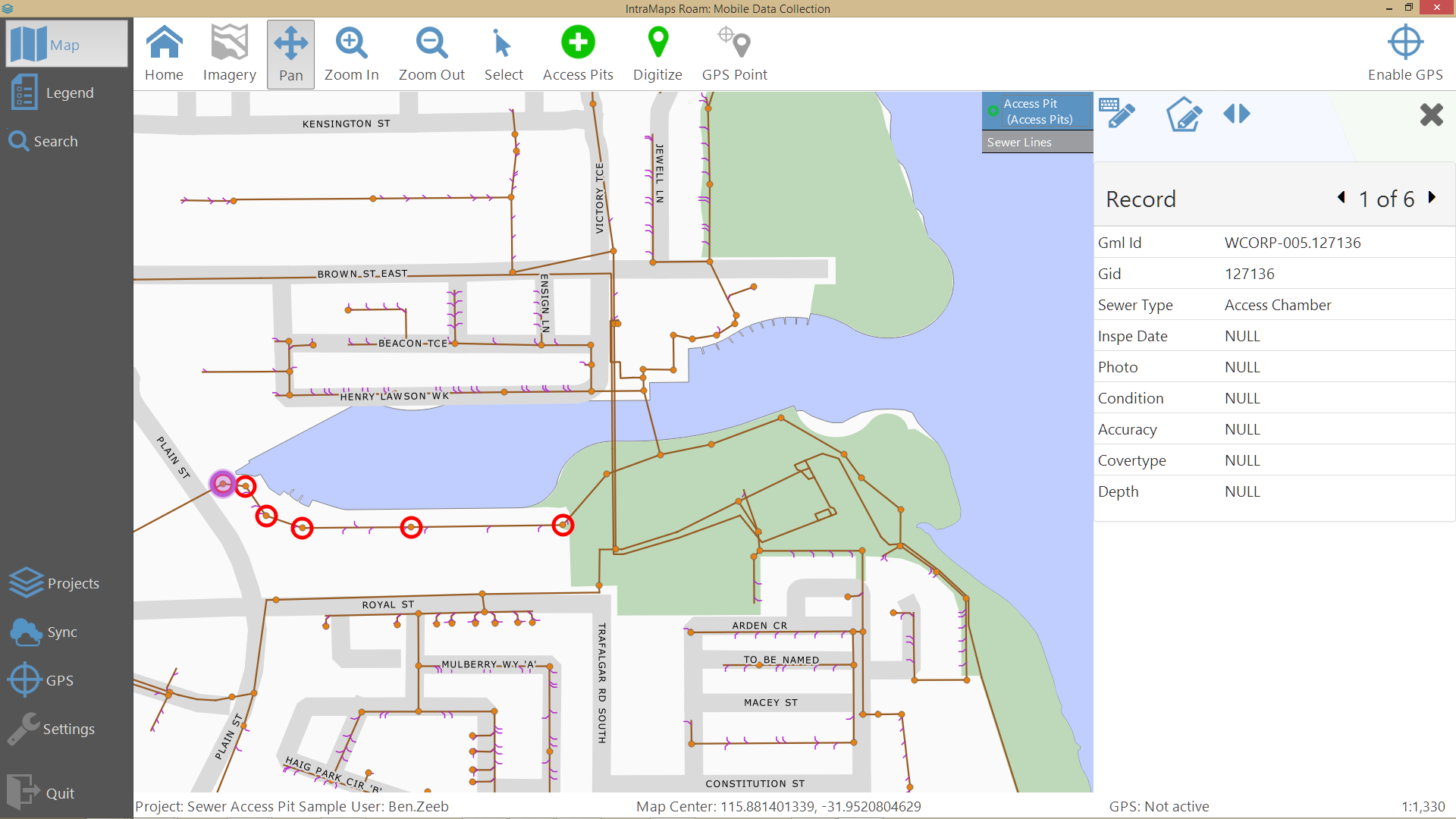
Situation: – In a student project, we are building a cataster/registry of pollard trees. – We have geolocations of many trees and now we want to collect data about these trees in the field. – We want to use open source software and lowcost equipment: an efficient solution, basically.
What we have: – We are using QGIS for analysis – We have tablets running Windows 8.1 and QGIS – Optionally we have external Bluetooth GPS sensors (but the tablets have internal GPS sensors as well)
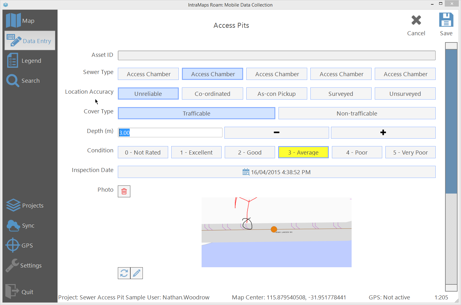
What we are able to do: – Use a customizes QGIS with an entry form in the field, to gather attribute data (got that already)
Questions, what we are lacking: – Is there a good way to capture images of trees with the tablet camera in the field AND link them to tree data? Maybe a plugin or script or something? – Is there a way to get the tablet internal GPS sensor working with Windows 8.1?


