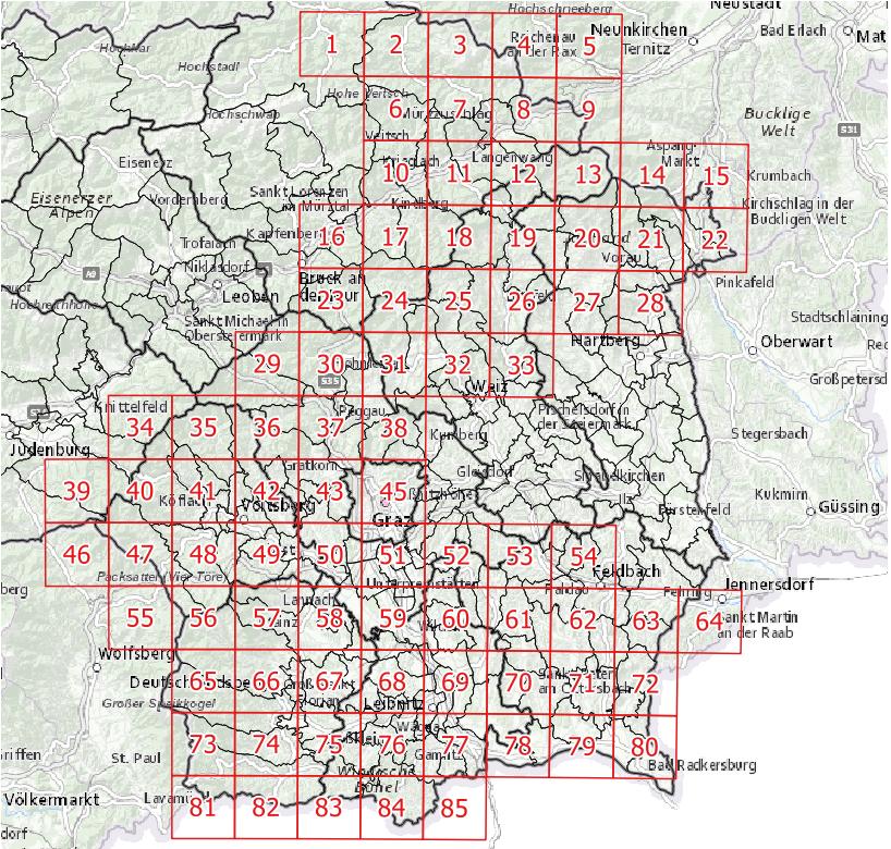
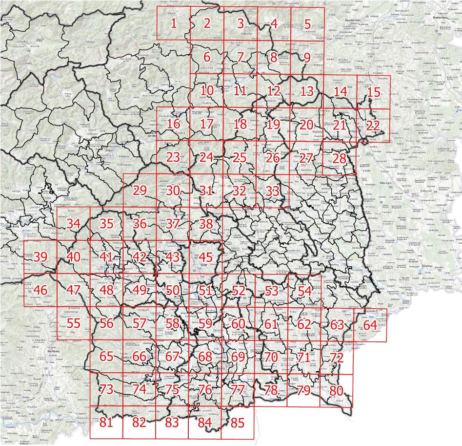
After creating and exporting my map to pdf/tif obviously there are different scales of the basemap in the exported file compared to the map I created in the printcomposer. See pictures...
I am using QGIS 2.8.1 on a windows 7 (64bit) machine. For the basemap I use basemap.at (WMS). The CRS is the same for all layers (WGS 84 / Pseudo Mercator).
Created Map in Print composer at 1:950000:

And what I get after exporting it to pdf is a more detailed basemap...

Does anybody know why this happens?
