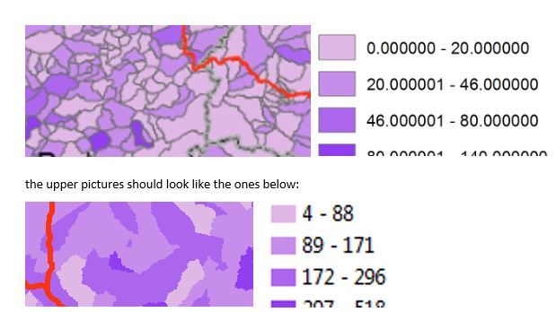
I am creating automated maps in ArcGIS with a similar Python Code which can be found here: Map automation to iterate through attribute table using ArcPy?
I cannot find out on how to set the borders of my polygons to transparent in the endmaps. As I read on other posts across the internet, this should be possible by just preparing the layout of your layers as you want them to have and save it as an .mxd file - I did so. The same goes for the legend, I save it with 0 decimal places but the map creates many of them.
Anyone know a solution for this or how to enforce it with python code?

