1

I have several vectors containing features that originated from a 30 x 30 m raster. I want to generate a grid of lines (fishnet) in all of the features that are more than 30 x 30m. As shown in the image below:
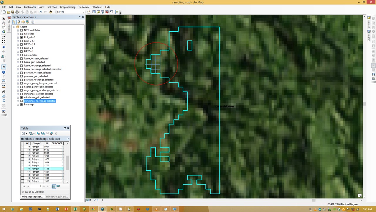
The upper right portion of the feature shows manually drawn grids

After that, I want to generate a single point per feature that would fall inside the center of the grid.

3
  • 1
    Just thinking out loud, but could you create a 30x30m fishnet basing the origin on the rasters extents. You could then use the selected features (after you identified the selection based on theirs areas) to clip the fishnet? I would assume that if the features were derived from the same raster, then the fish net and features edges should line up. Finally convert the polygon to points.
    – TsvGis
    Commented Jun 10, 2015 at 2:33
  • Just reading the documentation on creating a Fishnet, and this tool has the ability to generate label points in the centre of the fishnet cells. So you may only need to clip these points.
    – TsvGis
    Commented Jun 10, 2015 at 2:44
  • It's unclear if you want a single point inside each feature or grid cell. If feature, there isn't going to be a 'center' of the grid. You could do a centroid, which may or may not fall within the feature, or a point constrained within. Feature to Point would do this. If you want a point per grid cell, as TsvGis says the fishnet tool can create label points along with the grid.
    – Chris W
    Commented Jun 10, 2015 at 18:29

0

Your Answer

By clicking “Post Your Answer”, you agree to our terms of service and acknowledge you have read our privacy policy.