I have data that locates places by xy coordinate.
I have plotted them on a shapefile.
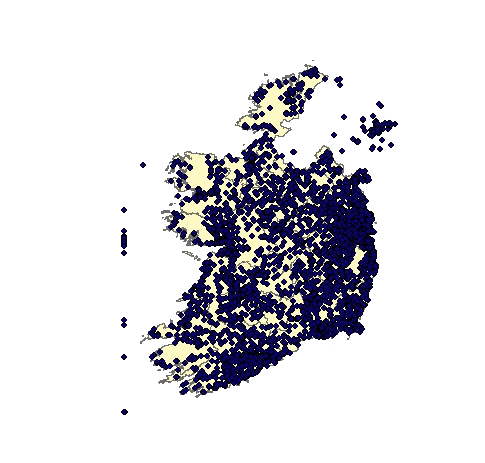
As you can from the sample map I have uploaded, many of the xy coordinates are incorrect and locate places outside of the shapefile, and therefore need to be removed from my dataset.
Some of the incorrect coordinates have a y coordinate = 0 (the vertical line of points), and are easily removed, by dropping observations where y is = 0.
However, there are many other coordinates (not all represented by this map), that are incorrect but are not equal to 0 and therefore not easily identified.
It would be very timely to identify 10 years of measurement errors individually.
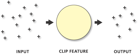
So, I was thinking that an easy way to remove these points is to delete the observations situated outside of the shapefile/island.
I am still an ArcGis beginner, so I am not confident yet on how to manipulate the data in such a way.
Do you know if it is possible, and how to go about it?


