0

I am using GrassGIS 6.4.2, How can I import raster data to GrassGIS without losing RGB Values?

The raster image format is TIFF, the below commmand is using to import raster image:

r.in.gdal input=C:\Users\Administrator\Desktop\renjith\satellite\14feb06053537-s2as-053712‌​789010_01_p004.tif 

After importing raster image I am getting like this
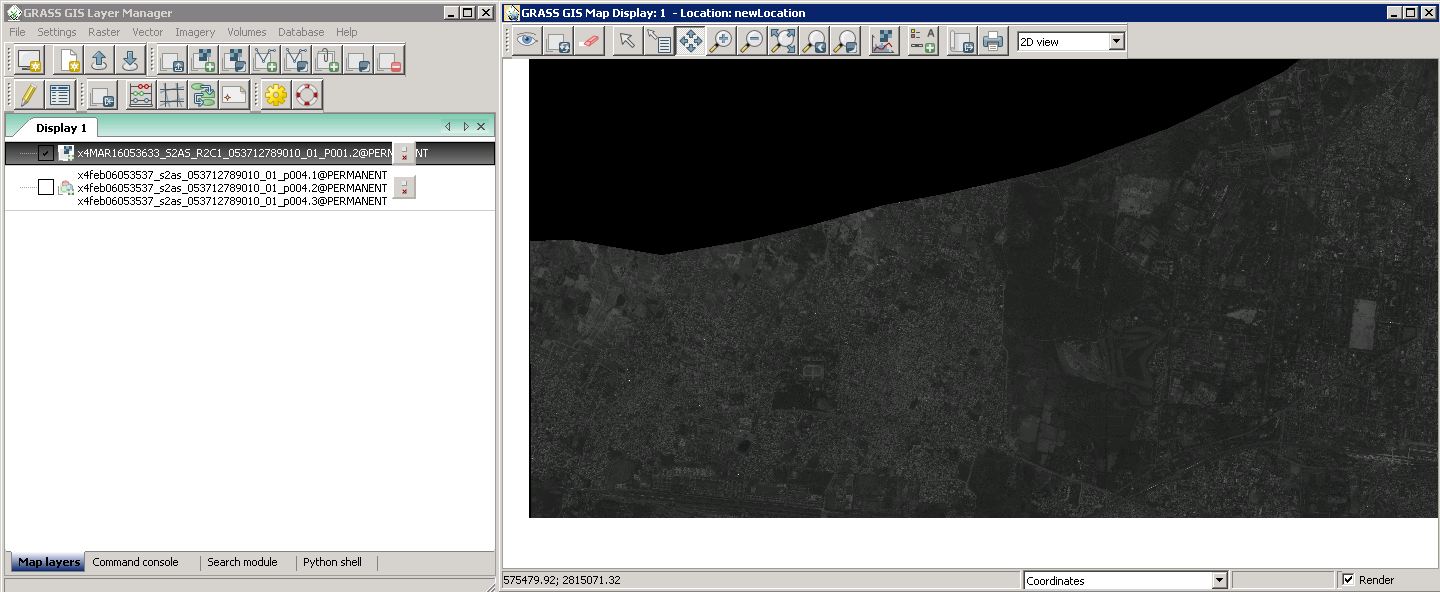
enter image description here

2
  • 1
    Welcome to GIS Stack Exchange. Can you please provide more information: what is the format of the raster data, what commands are you using in GrassGIS and how are the RGB values being lost? Can you provide a screenshot of the before/after raster, etc. Jul 21, 2015 at 6:41
  • Please use the edit button to revise your question with this additional information.
    – PolyGeo
    Jul 21, 2015 at 7:13

1 Answer 1

1

Use r.composite to merge the bands back into a single raster.

This is the example from the documentation page:

r.composite blue=lsat7_2002_10 green=lsat7_2002_20 
    red=lsat7_2002_30 output=lsat7_2002_rgb

Don't forget to set your region!

Your Answer

By clicking “Post Your Answer”, you agree to our terms of service and acknowledge you have read our privacy policy.

Not the answer you're looking for? Browse other questions tagged or ask your own question.