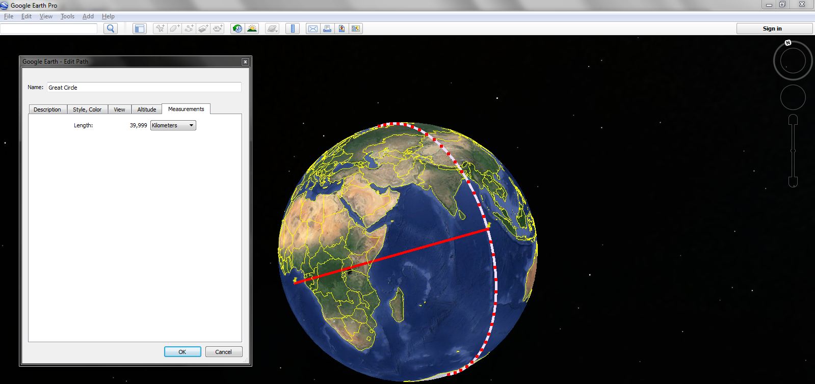
I have drawn a circle on google earth pro in such a way that its radius starts from earth center 0,0 (lat/long) and ends at 0,90 (lat/long). This circle divide the earth into two equall halfs as shown in image. It is in line shape of length 39,999 km.
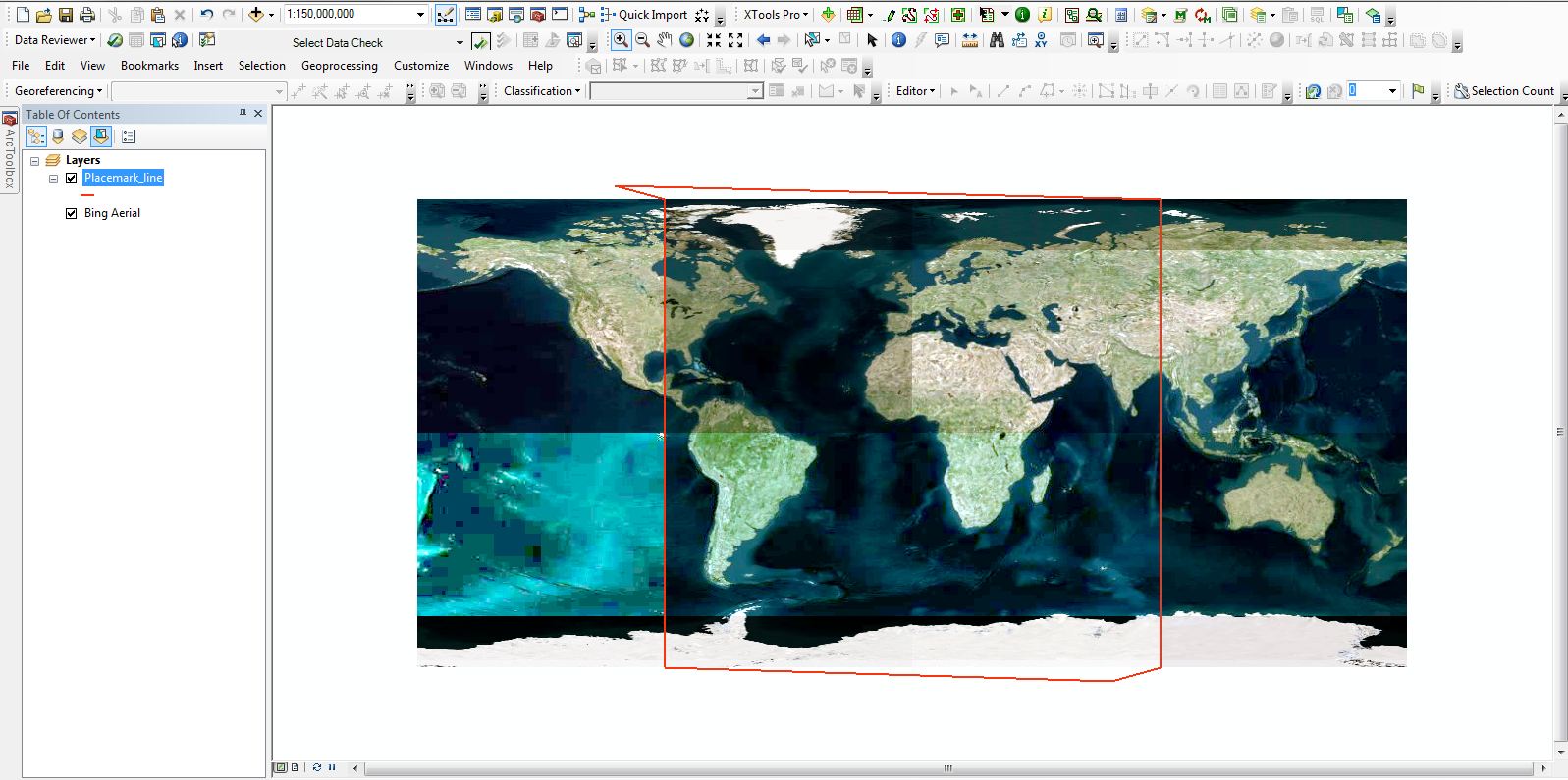
Then I have converted this circle in ArcGIS format and visualize there, it seem to be in a rectangle shape, obviously due to projection . When I select web mercator or other projected coordinate system of world they all give too much length as compared to its actual length 39,999 km.
My questions are:
- What method or suitable projection should I adopt in order to calculate its length on ArcMap?
- Length of this circle on google earth is 39,999 km which is different from the earth circumference which is about 40,075 km, why?


