I have a GeoTIFF file for which gdalsrsinfo reports this:
PROJ.4 : '+proj=utm +zone=32 +datum=WGS84 +units=m +no_defs '

OGC WKT :
PROJCS["WGS 84 / UTM zone 32N",
GEOGCS["WGS 84",
    DATUM["WGS_1984",
        SPHEROID["WGS 84",6378137,298.257223563,
            AUTHORITY["EPSG","7030"]],
        AUTHORITY["EPSG","6326"]],
    PRIMEM["Greenwich",0,
        AUTHORITY["EPSG","8901"]],
    UNIT["degree",0.0174532925199433,
        AUTHORITY["EPSG","9122"]],
    AUTHORITY["EPSG","4326"]],
PROJECTION["Transverse_Mercator"],
PARAMETER["latitude_of_origin",0],
PARAMETER["central_meridian",9],
PARAMETER["scale_factor",0.9996],
PARAMETER["false_easting",500000],
PARAMETER["false_northing",0],
UNIT["metre",1,
    AUTHORITY["EPSG","9001"]],
AXIS["Easting",EAST],
AXIS["Northing",NORTH],
AUTHORITY["EPSG","32632"]]
If I try to import that file into Tilemill, I cannot view it properly. If I chose to let Tilemill autodetect the SRS, it fails:
Unable to determine SRS for layer "antani2" at /home/strappanai/antani2.tiff
If in Tilemill I specify a Custom PROJ.4 string instead, that is, the one I get from gdalsrsinfo (and from QGIS as well), that is
+proj=utm +zone=32 +datum=WGS84 +units=m +no_defs
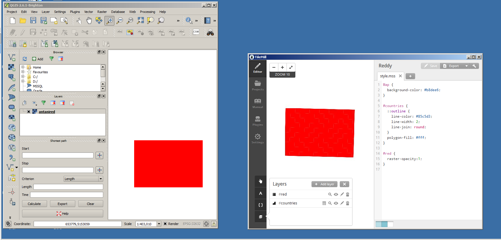
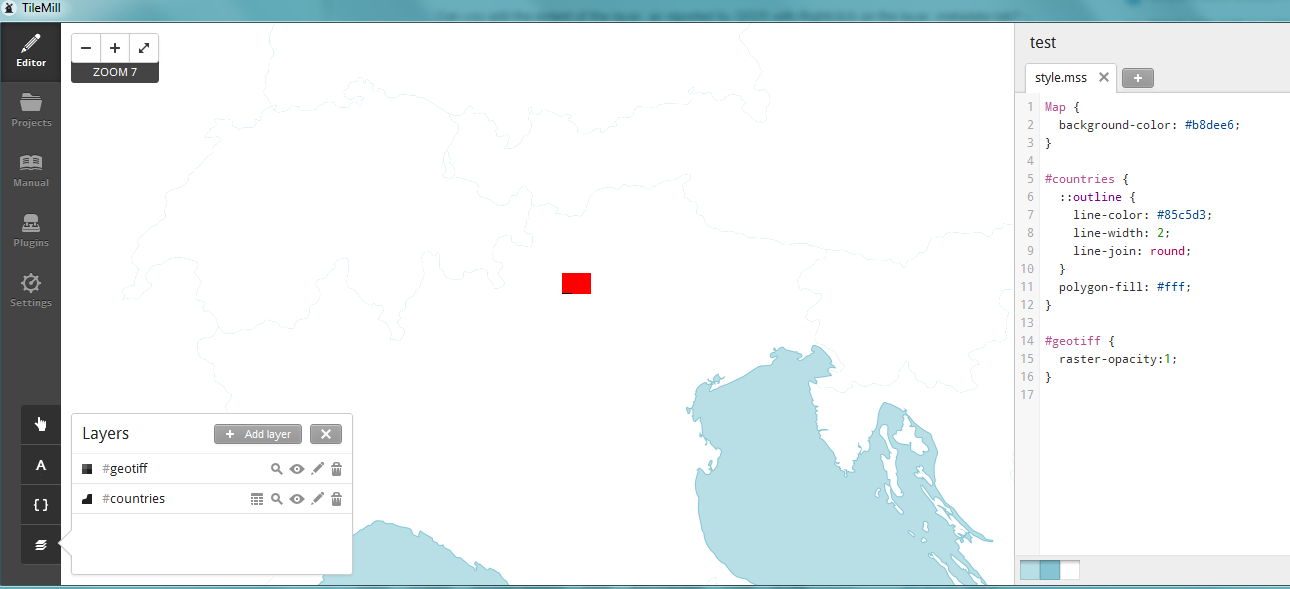
then the layer actually gets imported, but it is showed significantly tilted to the right - not as expected.
I don't know if this may matter to any extent, but QGIS imports and visualizes the file perfectly fine.
I also tried to reproject the source file as instructed here: https://www.mapbox.com/tilemill/docs/guides/reprojecting-geotiff/
But gdalwarp returns this error a thousand times and then fails:
ERROR 1: Too many points (441 out of 441) failed to transform,
unable to compute output bounds.
Warning 1: Unable to compute source region for output window     3593619,2225230,6394,6394, skipping.
More than 1000 errors or warnings have been reported. No more will be reported from now.
EDIT: This is the Layer Extent given by QGIS.
Layer Extent (layer original source projection) 638153.2011202700668946,5115644.8502587005496025 : 662908.4373886700486764,5132649.3878203006461263
Here's an identically behaving file: sample file
And here's how it's pictured in QGIS and in Tilemill (QGIS reads the SRS from the file, I specify the PROJ.4 string into Tilemill as stated above as it can't read it out from the TIFF).


