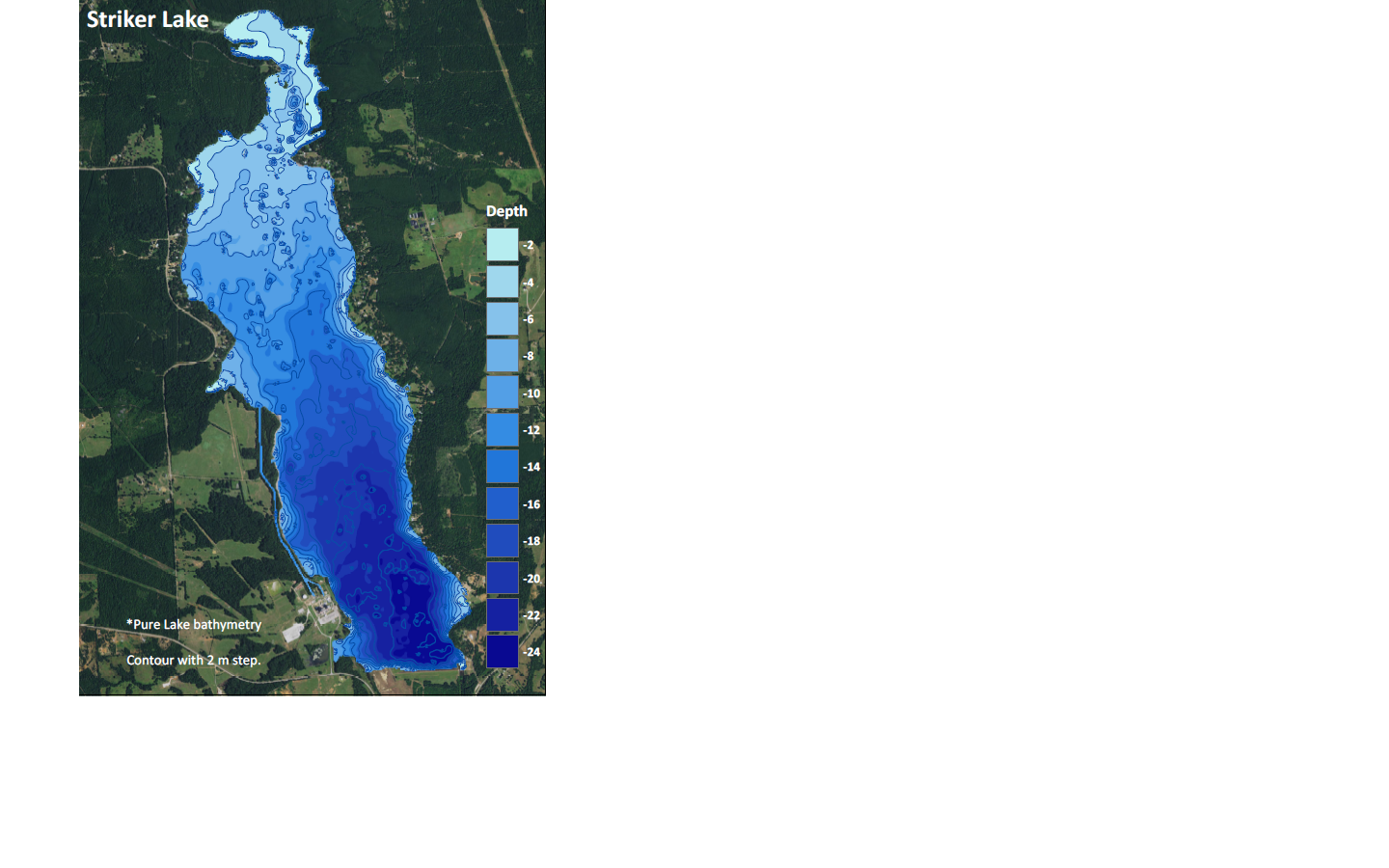
I'm not sure if it's right place to do that but I am in a strong need of getting some help.
I am creating maps with lake bathymetry and there will be a lot of them. My task is to proceed the data from an echosounder, create a DEM raster layer and finaly visualise the data in an appropiate style. My client wants me to send him my final DEM layers with visualisation. It means that he just want to:
- download my data
- open it in ArcGIS or QGIS
- and finally he wants this data to be already visualised.
Does anybody have an idea if this is possible?
He told me that we can make it via ArcGIS online but I think that in ArcGIS online i can upload only shapefile to my content.

