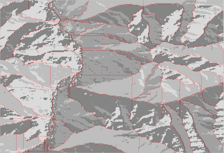
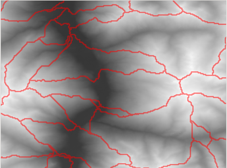
I have a strange behaviour in QGIS with GRASS tools. I am trying to create basins in the alp region and use he SRTM3 data. As I can see on the flow direction raster the SRTM3 data seems to act nice:
 I was using the r.watershed algorithm with a minimum size of 1000, 2500 or 5000 and I am always seeing the same problem:
straight lines across a slope and not following the main flow direction raster (visible in the center of the above screenshot).
Can anyone give me some advice on how to take care of this issue?
I was using QGIS 2.12.3, Ubuntu OS, the SRTM3 39_03 dataset and lots of coffee. I tried D8 and non D8 algorithm as well as different values for RAM usage... I will try it once more with an older version of QGIS, but it seems crazy!

