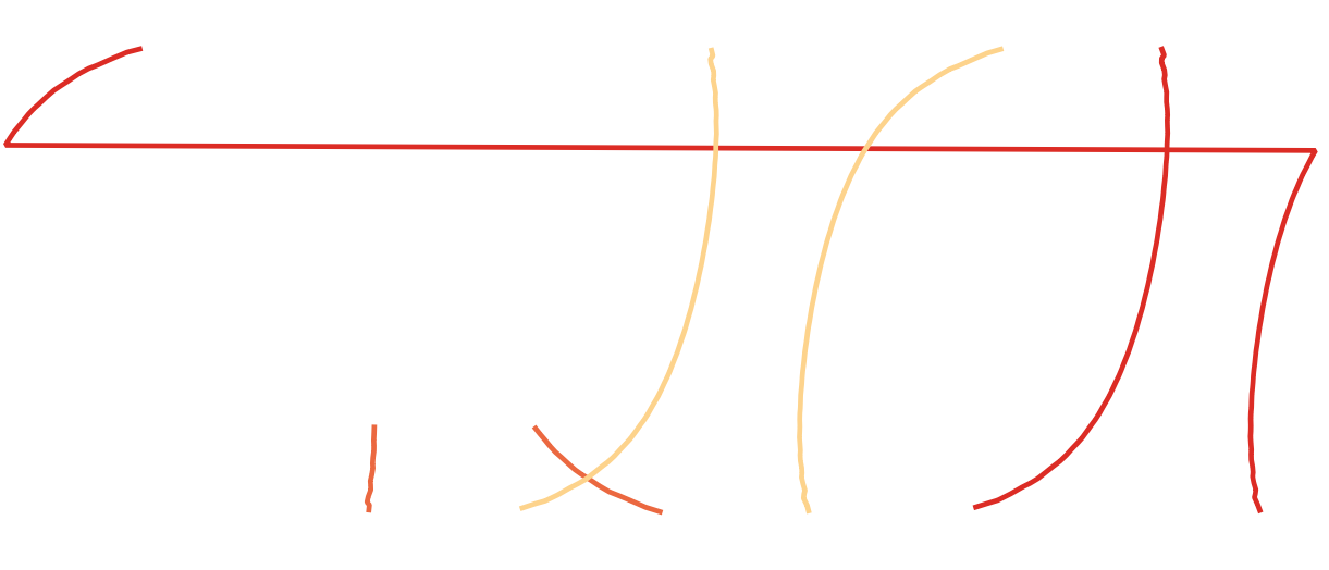
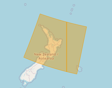
I'm trying to generate polygons for satellite orbital swaths. So far I have a method to generate two lines which represent the edge of each swath in [lat,long]. Some of the swath's cross the international dateline and so wrap round:
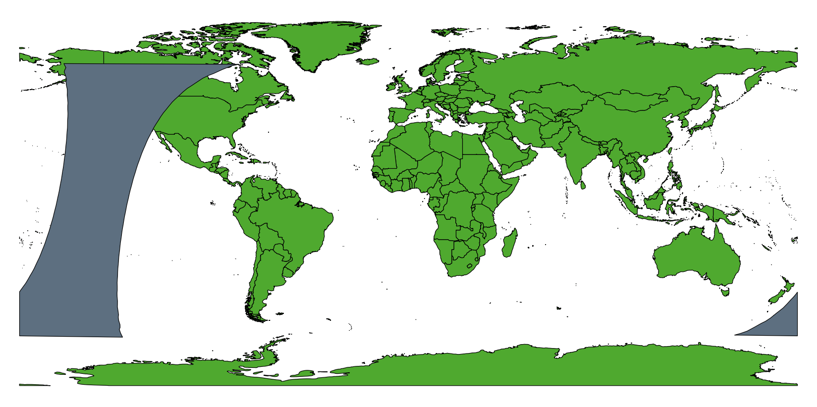
I was able to solve this with ogr2ogr -wrapdateline:
ogr2ogr -wrapdateline -f "ESRI Shapefile" test.shp orbits.shp
Which does split the lines probably
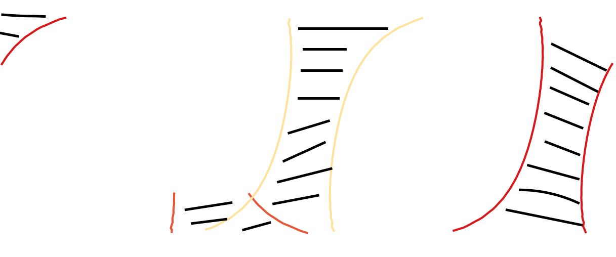
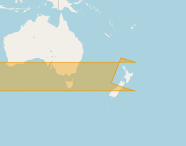
I now want to be able to generate polygons on the interior of both lines. So for example in the case where one edge of the swath crosses the dateline a polygon fills in when it emerges on the other side, like:
I need a method that is automated as I need to repeat the task a lot. Preferably in python as that's how i have generated the lines. Here are the two shapefiles containing the lines: wraparound ; datelinefixed

