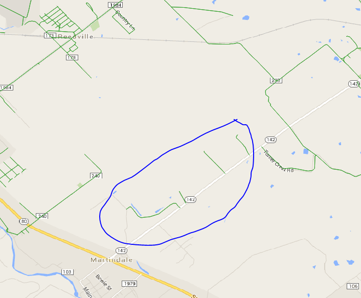
I have a dataset of roads in a city stored in a PostGIS enabled database. I would like to identify and remove any feature which is not connected to the rest of the road network. This behavior is common around the edges of networks, where the data was clipped.
I have found other answers on the GIS SE that do this, but they all appear to use ArcGIS, and I would like to solve the problem using PostGIS, QGIS, or a Python script.
My datasets can include over a million features, so performance is a concern.

