I need Sentinel 2 imagery of Nigeria, I signed up in Copernicus Scihub but typing Nigeria into the text box no results appear. I must be doing something wrong, how can be possible that they do not have images for Nigeria?
9 Answers
You can download Sentinel 2 Imagery by going to the Sentinel Data Access Portal and selecting the Sentinel Data Hub
Once you have arrived here select Scientific Hub
In the top right hand corner select Sign Up (Enter all your info and verify the email they send you)
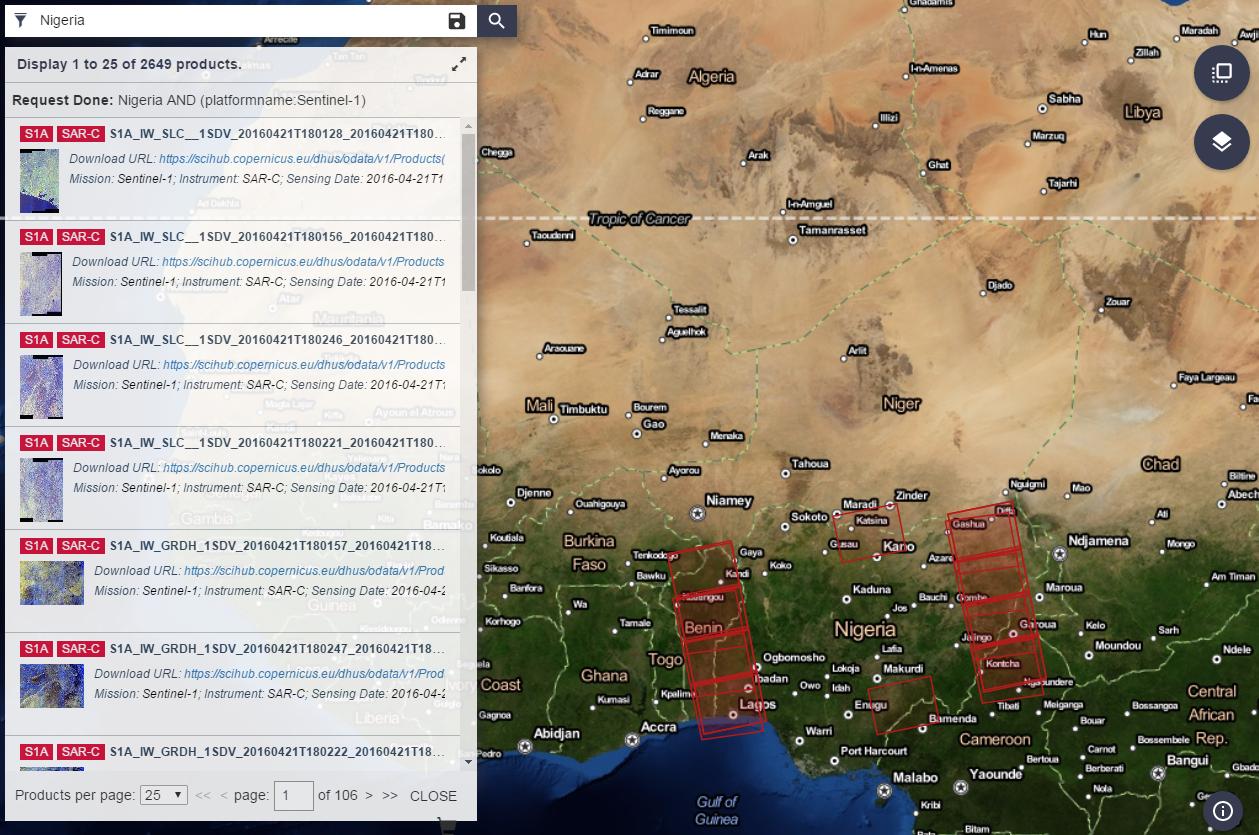
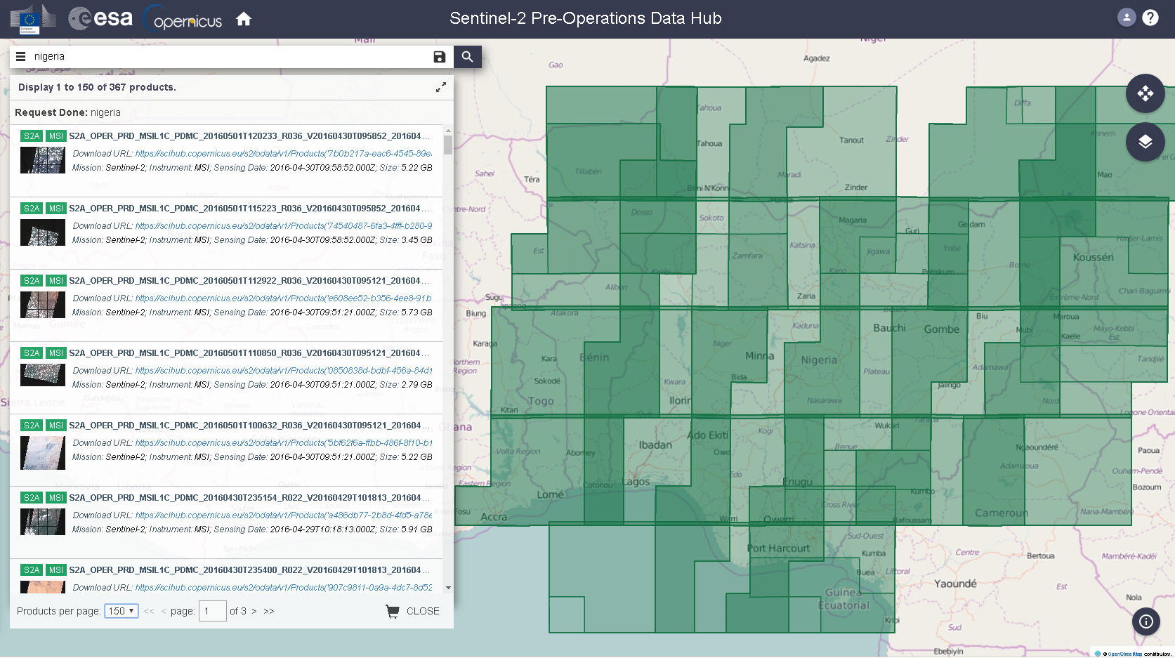
Login to your new account. Begin your search by using the search bar and type in "Nigeria". You will be provided with pages and pages of data so scroll through the products and hone in on what information you are seeking.
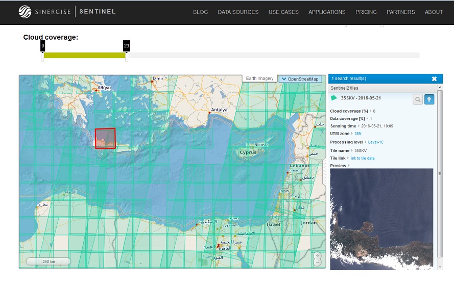
An alternate source is the Sentinel-2 Amazon S3 archive, where you can search fast and preview images (without need for login). This one is preferred if you're interested in individual granules and not the whole tile file (which is few GBs)
http://sentinel-pds.s3-website.eu-central-1.amazonaws.com
A Tip: the date slider has a minimum of 25/11/2015 but if you navigate through the individual folders, you can find available files from dates older than this (not everywhere but some areas have available scenes from May to October 2015, gradually inserted into the archive)
-
1Note that the access rights of the sentinel bucket on aws have changed: forum.sentinel-hub.com/t/…– Chris PCommented Feb 19, 2019 at 21:54
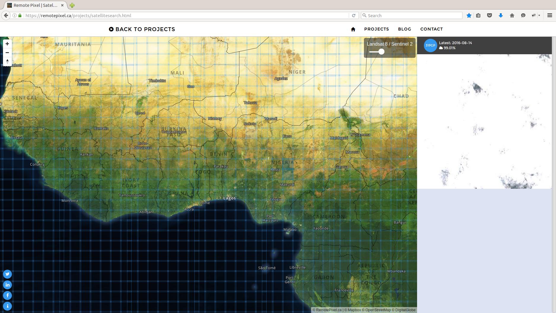
Remote Pixel's Satellite Search website is a very impressive tool for downloading Sentinel-2 data as well as Landsat-8. It's very intuitive, quick to search and easy to download data.
-
1Why don't you mention the name of the website/project? IMHO, it would make your answer better. Commented Aug 13, 2018 at 9:20
-
Do note that MDHald's answer is linking you to Sentinel-1 SAR Data. The Sentinel-2 EO data has it's own "pre-ops" hub. With the login credentials currently guest/guest.
As you can see, searching for "nigeria" returns correct results.
If you want to search for individual granules, you can use this KML tiling grid to locate them
Sentinel-2 data is also available for download form USGS' Earth Explorer portal
-
The "dhus" DataHub contains both Sentinel-1 and Sentinel-2 images. The "pre-ops" hub only distributes Sentinel-2 data and was introduced to reduce the load on the "dhus" DataHub (and thereby decrease the downtime due to too many requests).– KerstenCommented May 6, 2016 at 11:13
https://github.com/kr-stn/awesome-sentinel - A curated list of awesome tools, tutorials and APIs related to data from the Copernicus Sentinel Satellites. Contributions and updates are always welcome.
You can also use Google Cloud public datasets (https://cloud.google.com/storage/docs/public-datasets/sentinel-2). Here's a small python script to search and download data from there: https://github.com/vascobnunes/fetchLandsatSentinelFromGoogleCloud
-
Avoid overt self-promotion. The community tends to vote down overt self-promotion and flag it as spam. Post good, relevant answers, and if some (but not all) happen to be about your product or website, that’s okay. However, you must disclose your affiliation in your answers.](genealogy.stackexchange.com/help/behavior). In practice this means any answer that recommends your own product must include something like "Disclosure: I am the [position] of [company] that develops/distributes this software/test".– PolyGeo ♦Commented Nov 4, 2019 at 7:08
OpenWeather company have free satellite images of Sentinel. New images every 2-4 days and historical archive.
You can easily get them using by API https://agromonitoring.com/api/images. More information on https://agromonitoring.com/ or in blog.
-
Avoid overt self-promotion. The community tends to vote down overt self-promotion and flag it as spam. Post good, relevant answers, and if some (but not all) happen to be about your product or website, that’s okay. However, you must disclose your affiliation in your answers.](genealogy.stackexchange.com/help/behavior). In practice this means any answer that recommends your own product must include something like "Disclosure: I am the [position] of [company] that develops/distributes this software/test".– PolyGeo ♦Commented Nov 4, 2019 at 7:08
The Following Android application provide more than 60 types of Satellite ,it's sensors Information as well as downloading process videos and their official website. https://play.google.com/store/apps/details?id=com.tushar.gisdatasource
-
Avoid overt self-promotion. The community tends to vote down overt self-promotion and flag it as spam. Post good, relevant answers, and if some (but not all) happen to be about your product or website, that’s okay. However, you must disclose your affiliation in your answers.](genealogy.stackexchange.com/help/behavior). In practice this means any answer that recommends your own product must include something like "Disclosure: I am the [position] of [company] that develops/distributes this software/test".– PolyGeo ♦Commented Nov 4, 2019 at 7:06

