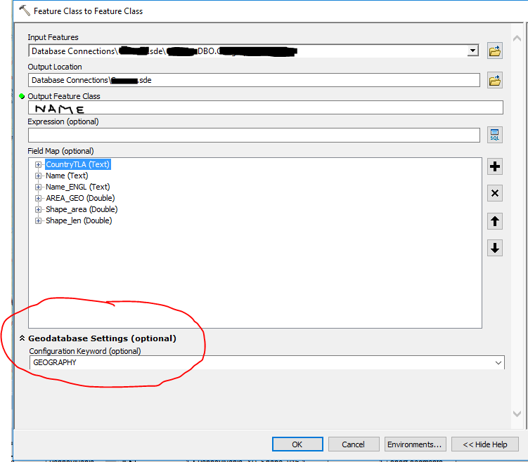
Original question: I have found a lot of documentation on importing and using query layers from SQL Server into ArcCatalog/ArcMap/etc. However, when you change the projection of a feature class or use the editor tool in ArcMap (say to break up or split a polygon) then try to export it back into SQL Server, you cannot visualize the geometry when querying the table in sql server anymore.
I was wondering if anyone knew why this happened, and if there was a way to fix this either before you export into sql server or within sql server itself.
***************update*****************
I now know why I cannot see the spatial results in sql server; when exporting it is giving my feature class ESRI's default native geometry type, which SQL Server cannot visualize without conversion. From what I can find online, the "Migrate Storage" processing tool in ArcMap 10.3 should be able to fix this issue. However, after I ran the tool (and got a "succeeded" message in the results) it still does not show the shape column as a "geography" data type.

