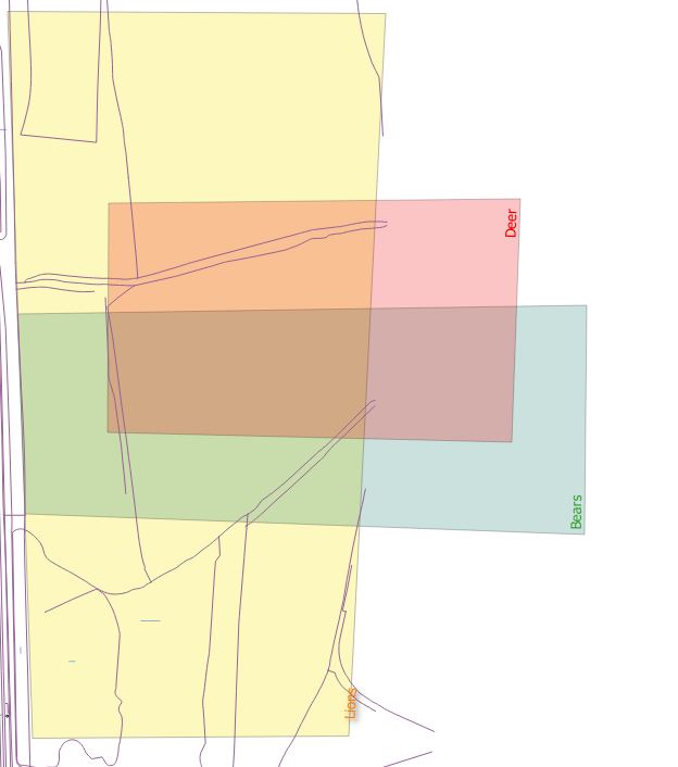
I need to create maps of multiple species in a certain area. However sometimes multiple species occurr in the exact same area. This results in two identical polygons on top of each other. Many of these polygons are for example a UTM1 square of 1 by 1 km.
When making a map I should be able to make it clear that there are multiple species that occur in that polygon. However through the syles menu I can only make the colors blend while ideally when 3 polygons are on top of each other I should get some sort of pie diagramm or a checkerboard pattern containing the colors of both species.
Does anyone know a plugin or elegant way to do this? So far I have only found stuff like the v.clean option, but I do not want to remove the overlapping polygons, quite the opposite, I want to visualise the overlapping polygons as well as the non-overlapping ones with a clear legend.

