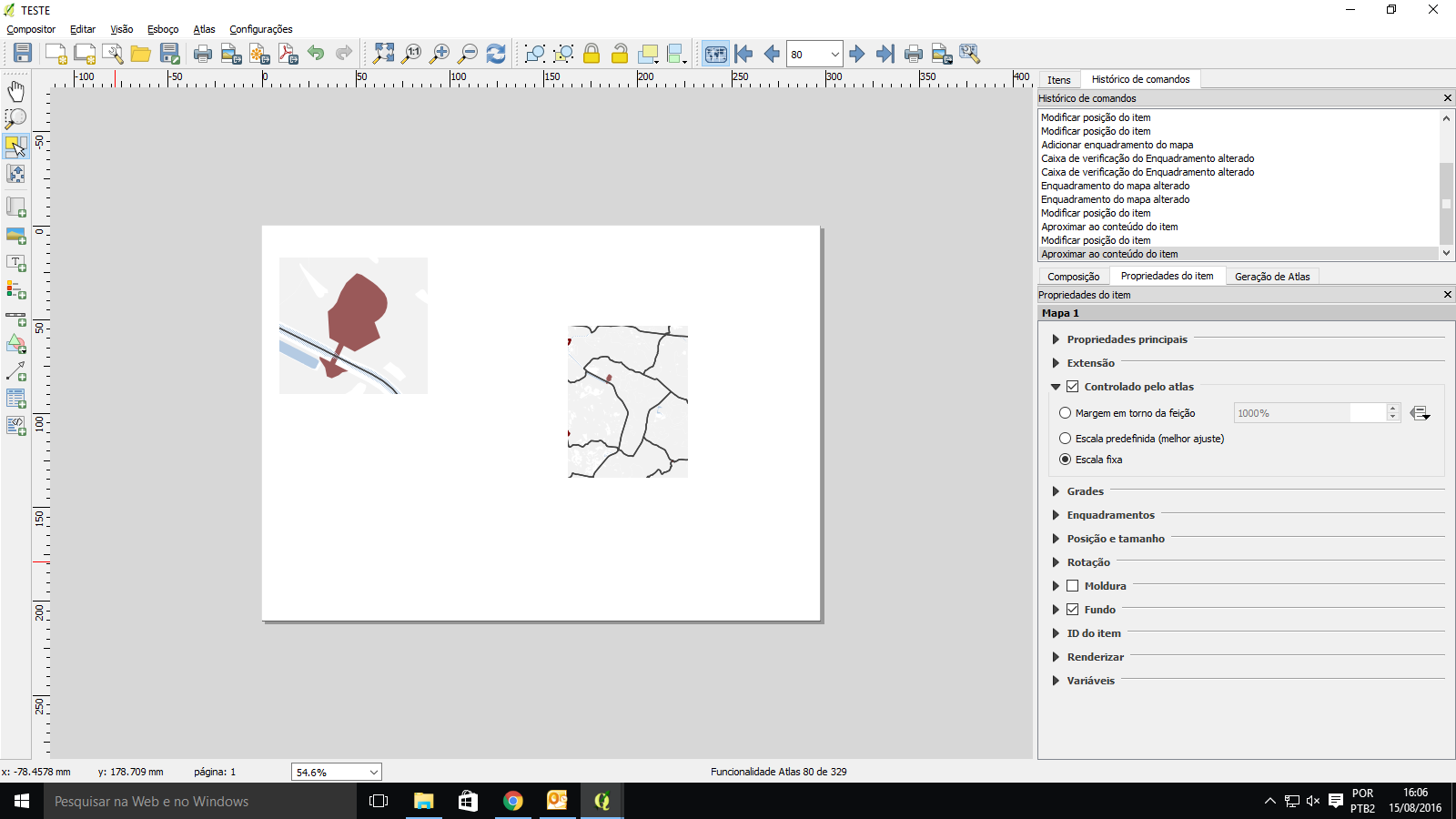
I have a map showing a city and its divisons. I have then several features in other layer with the style set to show only the feature designed by the atlas by $id = $atlasid
So far so good. Then I want to create a print composer with two maps: the first one will be set to be "controled by atlas" with 10% margin around it (this I know how to do). Then the second one need to show the same feature but need to be centered by the city division that it belongs to. In other wors I need to input a formula that says whitch layer that map need to use to center the image. (like in the image)
Any ideas, Plugins or solutions?

