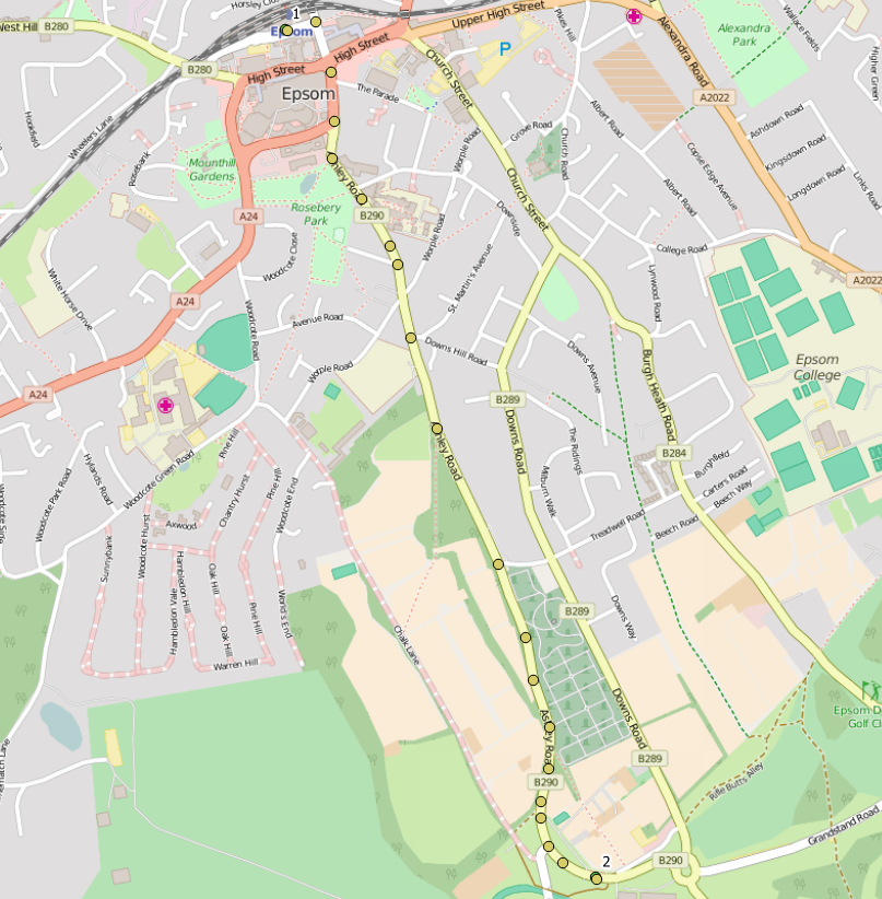
Now I'm trying to convert unknown coordinate system to Google Maps (WGS84?). How can I identify what kind of projection am I dealing with? I'm inspecting www.travelinesoutheast.org.uk. Route response returns json with:
name:"Epsom, Epsom Railway Station (Stop N)"
coords:"-29903.75584,5319390.31291"

name:"Epsom, Epsom Race Course (W-bound)"
coords:"-28583.17541,5323006.72201"

