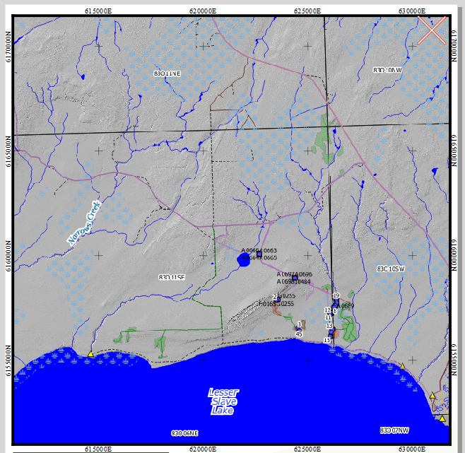
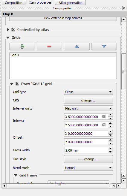
So I am using QGIS 2.18.0 and have made a map template that uses the atlas generator in the print composer. It uses the grids settings for the map to add UTM north and Eastings along the sides of the map.
Is it possible to set the grids to adjust based on the scale of the map?
For example, the x and y interval for the grid would decrease automatically when the atlas generator is producing a map at 1:10 000 and then increase when the producing a map at 1:100 000? Similar to how the visibility of different layers can set based on scale.
Right now it appears that the grid can only be set to one interval.


