4

enter image description hereenter image description here

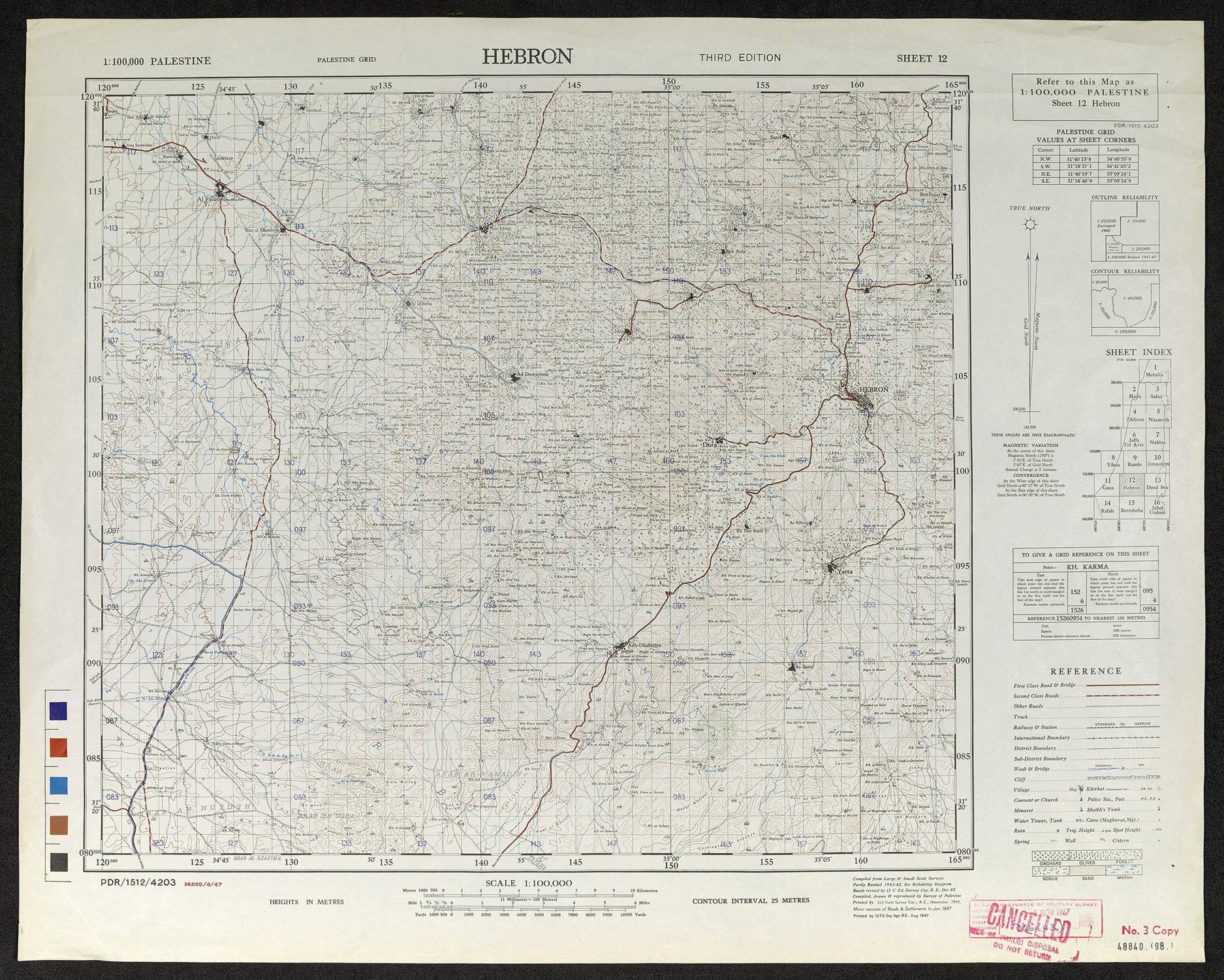
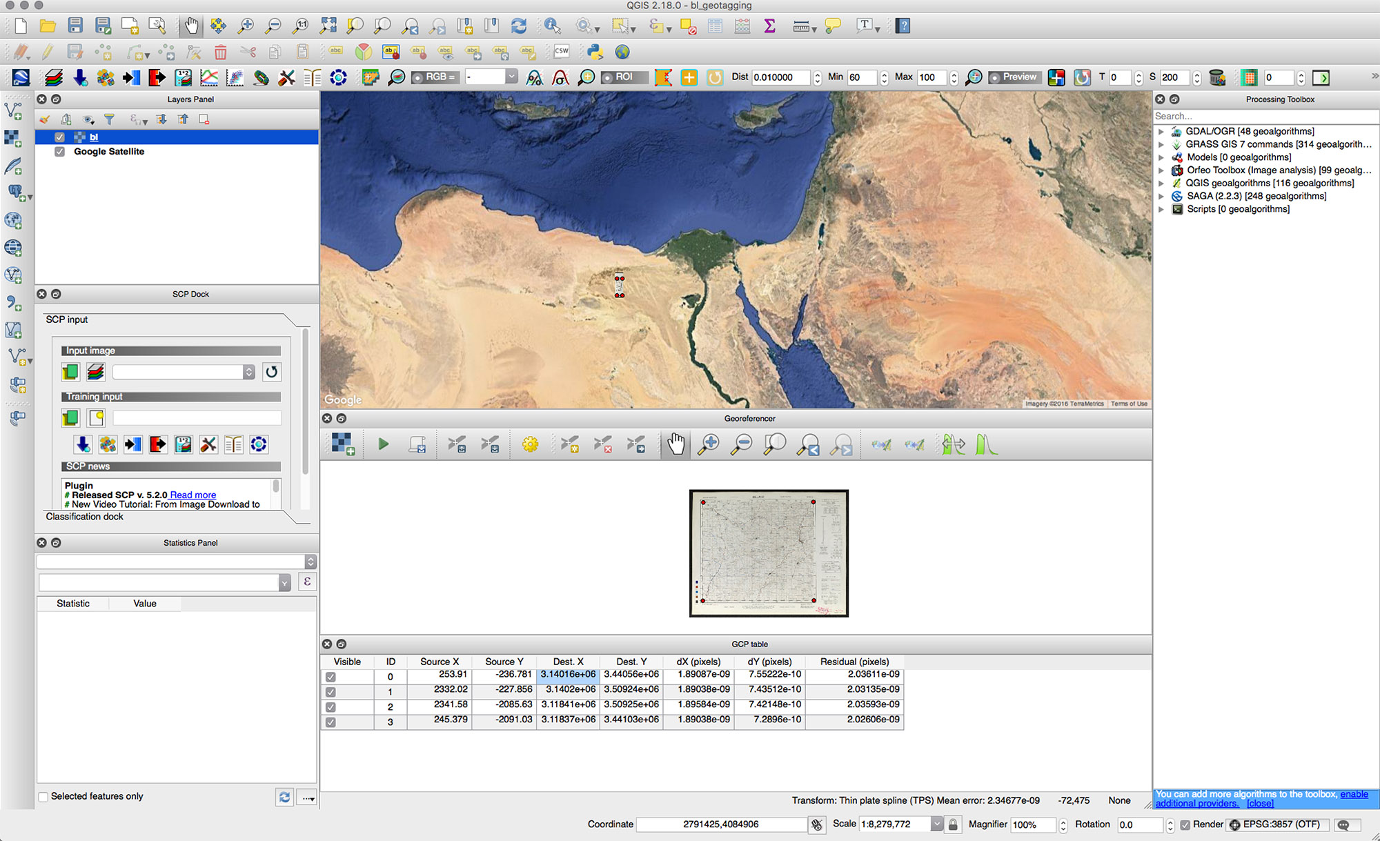
I'm using the georeferencer to try and reference a British army map of Palestine. I want it to later be added on Google earth.

I'm pretty sure it should be Palestine grid 1923 the map ends up appearing distorted in all sorts of places around the Middle East but not in Palestine.

What projection information do I need to input in the georeferencer? I'm currently entering palestine grid when inputing the map into the georeferencer. I'm adding the points according to the info on the legend on the right side of the map. exporting to WGS 84 / Pseudo Mercator

6
  • Can you add more details? Show some screen shots of the map and/or anything else relevant.
    – whyzar
    Commented Nov 25, 2016 at 0:37
  • 1
    What georeferencer (i.e. what GIS software) are you using to try and do this?
    – PolyGeo
    Commented Nov 25, 2016 at 2:44
  • Map face notes definitely tell you it is 'PALESTINE GRID'
    – nmtoken
    Commented Nov 25, 2016 at 7:48
  • Out of interest is this a homework question, there appears to be a very similar one posted at the same as yours!
    – nmtoken
    Commented Nov 25, 2016 at 7:53
  • hey, thanks for the replies. thankfully it's not a homework question. Commented Nov 25, 2016 at 21:58

1 Answer 1

1

I would go with EPSG:4326 and use the lat/lon values provided for the corners and along the outer grid.

2

Your Answer

By clicking “Post Your Answer”, you agree to our terms of service and acknowledge you have read our privacy policy.

Not the answer you're looking for? Browse other questions tagged or ask your own question.