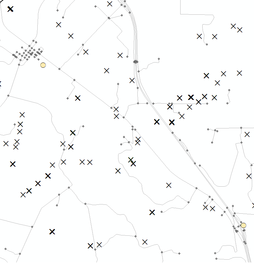
I have a shapefile of ~10,000 groundwater wells, a shapefile of ~7 points of interest, and a comprehensive road network. I am looking to create a single distance value for each groundwater well that represents the shortest distance route to the nearest point of interest, by road.
My issue (other than being a GIS novice) is that both the groundwater points and the points of interest do not lie directly on the road network. There is a distance from each of these groundwater wells to the nearest road, then that point on the road to the section of road nearest to the point of interest, and then the distance to the point of interest. And I have 10,000 wells to do.
groundwater wells = X
Points of interest = tan O
I was curious how one of you experts might go about this?

