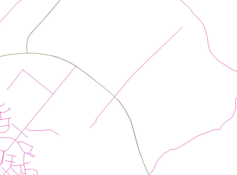
I am using OSM road data as a basis for my project. For some of the roads I have additional info. Pink roads are OSM roads and green is the road data I got elsewhere.

What I need to do is to find which roads are identical and add the extra info I got to the OSM road layer.
The problem is that the line segments are not the same and the info I want is connected to each of the line segments. Are there any tools that would split the osm line segments so that if the line segment of the other data ends then the OSM segment would also end.
Also are there any tools that compare if the segments are the same? I've been using qgis, gdal, python and postgis for this project.
