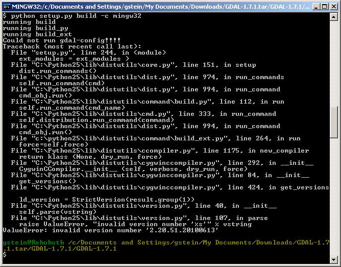
I find OSGEO4W a poor solution because it creates a whole parallel universe, almost like a virtual machine. I was able to install GDAL and use it in python following the steps outlined here (this is the link provided by @sys49152).
It sends you to gisinternals.com. Take the link to "stable releases" to get to:
http://www.gisinternals.com/release.php
Now you have to choose between 32 and 64 bits and different Microsoft Visual C++ compiler versions. Note that this has to match your python version, not your OS. In my case I have a 64 bit windows, but a 32 bit python 2.7 (that shipped with ArcGIS).
To see what you have you can run python on the command line and a message like this:
C:\>python
Python 2.7.2 (default, Jun 12 2011, 15:08:59) [MSC v.1500 32 bit (Intel)] on win32
Type "help", "copyright", "credits" or "license" for more information.
>>>
So I need to use "release-1500"
I selected: MSVC 2013/win32 release-1500-gdal-1-11-3-mapserver-6-4-2
(the build version numbers will change over time)
I first downloaded and installed the "Generic installer for the GDAL core components": gdal-111-1500-core.msi
And added the path and other variables as described here.
Add to path: C:\Program Files (x86)\GDAL
Create environmental variables:
GDAL_DATA = C:\Program Files (x86)\GDAL\gdal-data
GDAL_DRIVER_PATH = C:\Program Files (x86)\GDAL\gdalplugins
Then, I downloaded and installed the python module for python 2.7 GDAL-1.11.3.win32-py2.7.msi
And after that, in python I was able to do
from osgeo import gdal
ds = gdal.Open('file.tif')
etc.

