I am using ArcGIS 10.4.1. I make a map. I am have two shapefiles: one polyline and one polygon. The polyline is a road and polygon is a building.
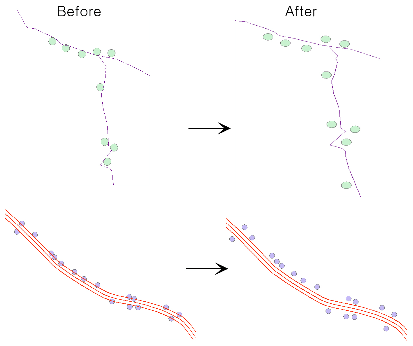
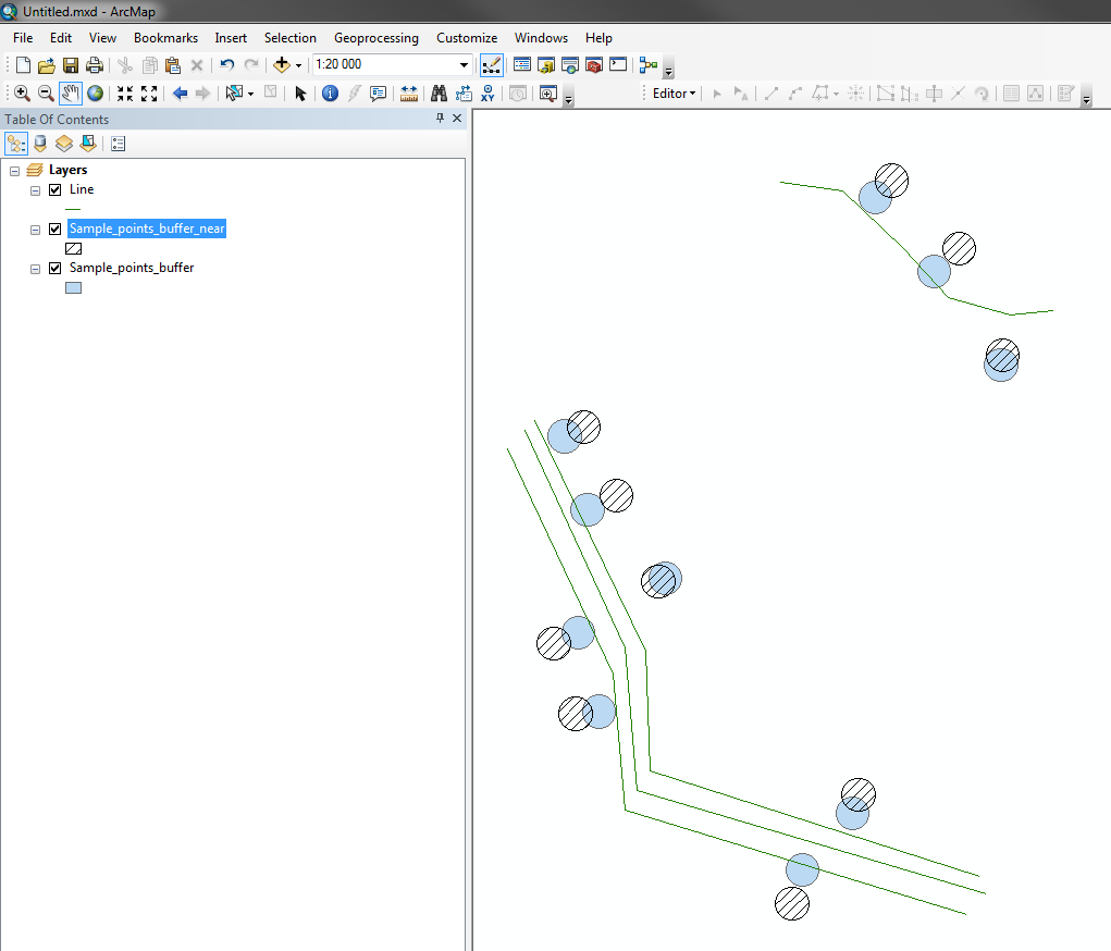
The shapefiles overlap. I want to automatically resolve the overlapping features. I want to make a "After" picture.
If polygon is placed at the center of the line, it doesn't matter which direction it moves. You only need to move to either side. I want to moving distance is likely to be 15m-20m away from the road. The building should be located only near the road as shown.
I wonder if ArcGIS can automatically shift buildings by road.
I don't have programming skills. However, the GIS program is well used.I hope to solve this problem with ArcGIS.
How to automatically move overlapping features?
The above figure is one line and the figure below is three lines. The three lines mean the center line of the road and the two outside mean the width of the road


