The World Bank has a lot of data on their website that is shown on maps.
Is there is a way to download this data and use it in Qgis, preferably via shapefiles?
The World Bank has a lot of data on their website that is shown on maps.
Is there is a way to download this data and use it in Qgis, preferably via shapefiles?
There is a great plugin that enable you to import the world bank data into Qgis
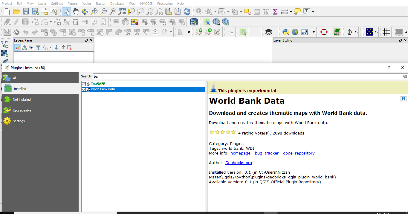
The first thing is install the World Bank plugin.
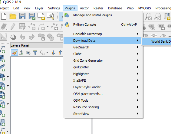
The plugin will be at the plugin menu 
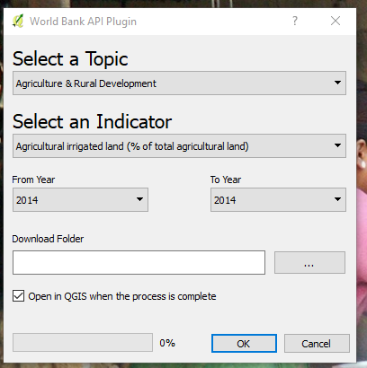
Once you click it you will have a window with topics. In this window you will be able to choose topics and subtopics for a given year. Before you press "OK" you need to choose the folder that your shapefile will be saved into.

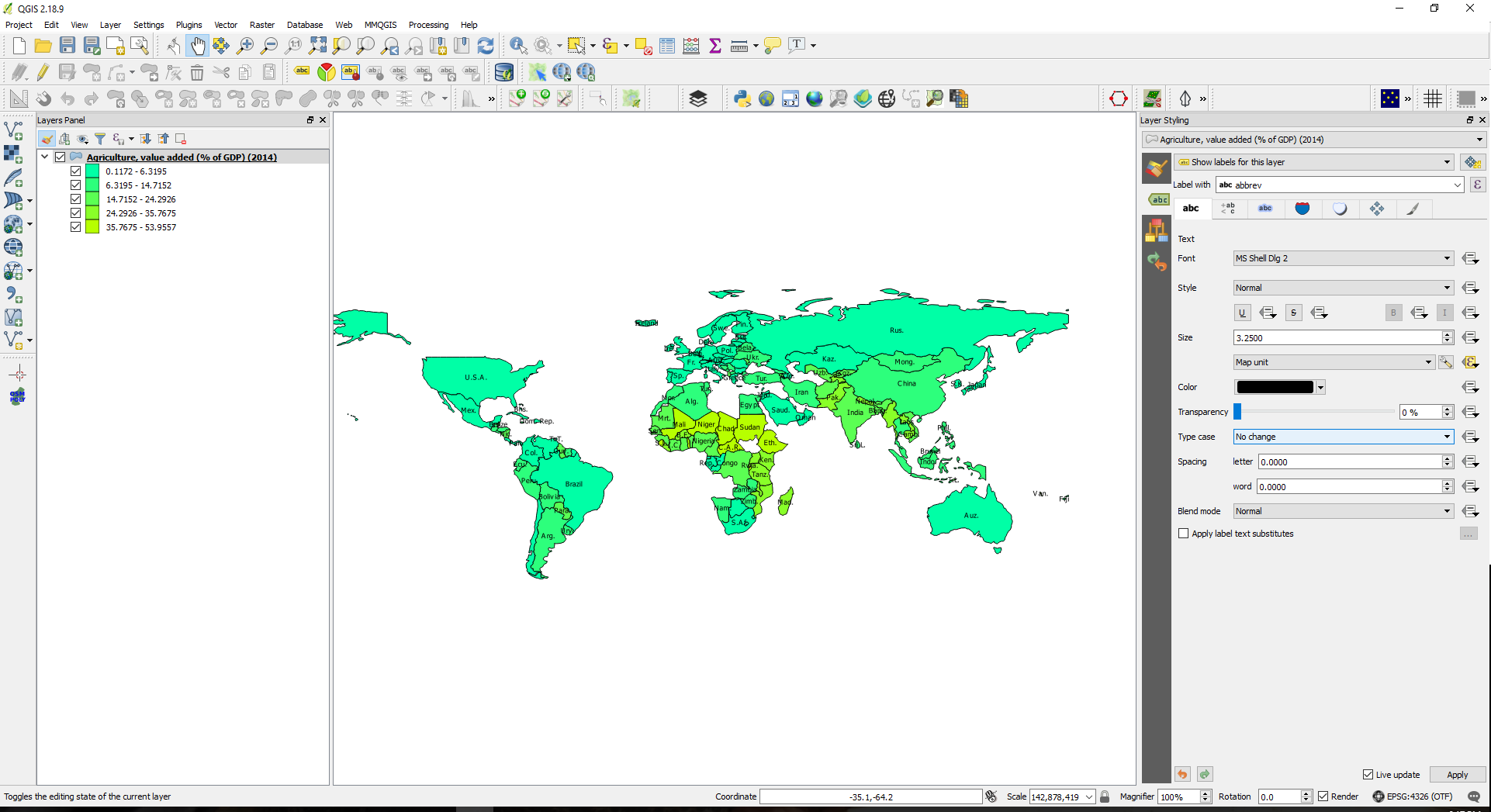
I have choose the "Agriculture, value added (% of GDP) (2014)" topic. It looks like this:  Canada is missing because it had no value.