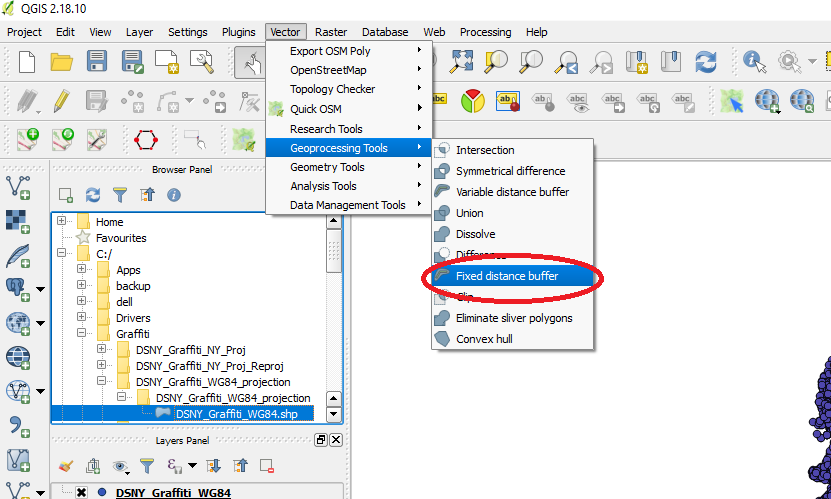
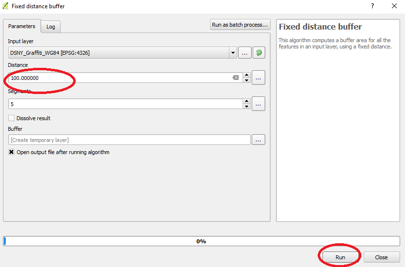
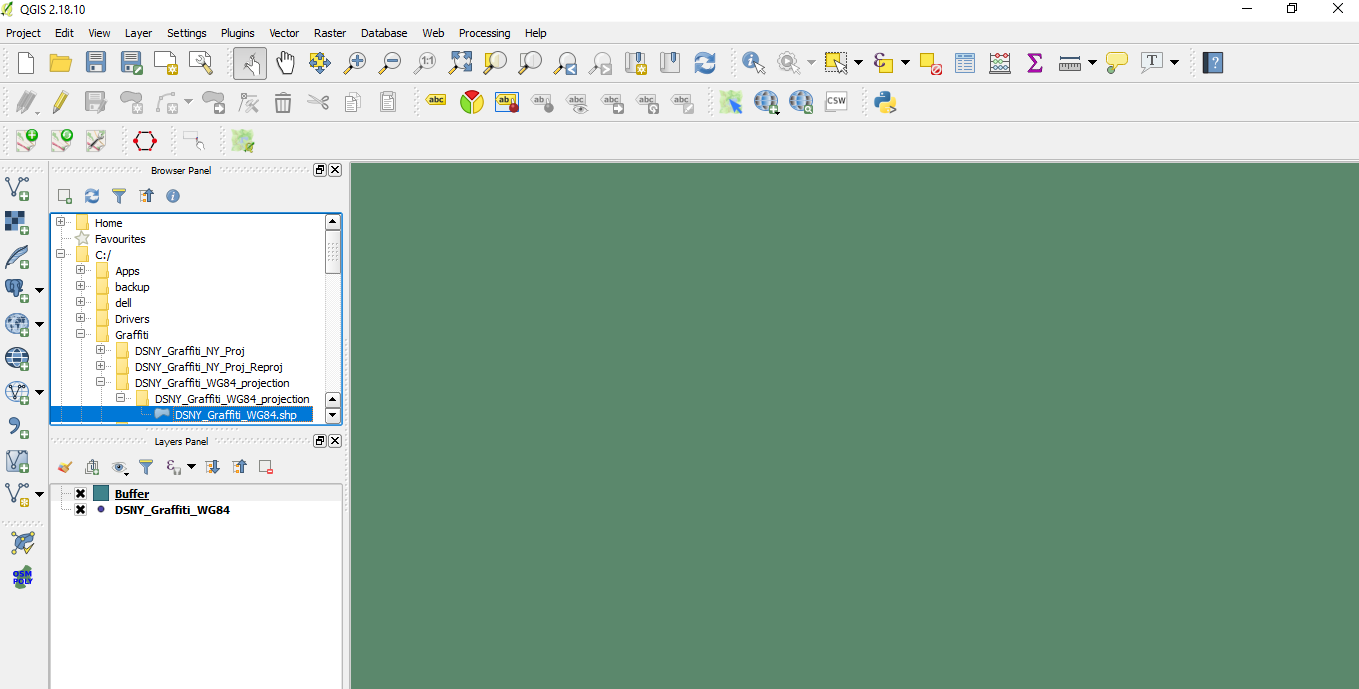
You have a WGS84 shapefile (EPSG 4326) which is units of degrees. You're buffering by 100 degrees, which covers about half of the earth!
So you can do two things. One option is to go back to your original CSV or shapefile that's still in the New York State projection, buffer that by a however many feet you think will work for what you're trying to do. Let's say that's 5 feet radius. Then you can reproject your circles to WGS84.
Or you can buffer the WGS 84 points by the right amount of degrees. 5 feet at the latitude of New York City is about 0.000015 degrees.


