Does anyone know of any sources for free DEM and other remote sensing data in Germany?
I don´t think Europe is as open as the USA when it comes to free data!
The advantage of satellites is that they cover the entire globe. Sure Europe doesn't have the same data freedom as something sourced from NASA (the USA have the quaint notion that things paid for with public money should be public!), but those NASA satellites do still circle the entire planet.
There are a lot of possible sources of data, some free, some not:
- http://gcmd.gsfc.nasa.gov/
- http://glovis.usgs.gov/
- http://earthexplorer.usgs.gov/
- http://earthnow.usgs.gov/earthnow_app.html?sessionId=9a2c4eb76504bdf0e9361336ab4c9ee9117659
- http://www.ngdc.noaa.gov/mgg/topo/globe.html
- https://earth.esa.int/web/guest/data-access/catalogue-access/descw (Europe; ESA)
- http://www.esa.int/SPECIALS/Eduspace_EN/SEMX7BANJTF_0.html (If you're using it for teaching)
- http://library.oceanteacher.org/OTMediawiki/index.php/Remote_Sensing_Data_Gateway (a list of sites that contain Remote Sensing data)
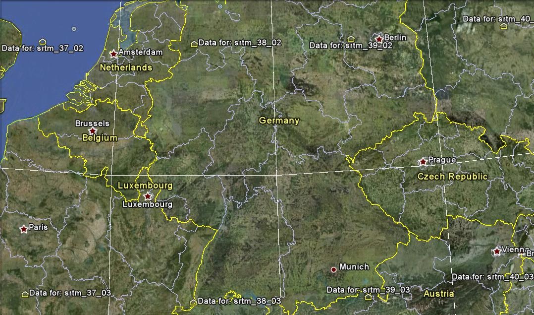
in SRTM structure you can learn where Germany is located from some srtm sources. i have found for you, they are;
they are all ARCASCII format on HTTP: the DATA tile in zipped ARCASCII format.
and Germany Map with SRTM:

For DEM data try the ASTER GDEM, which offers worldwirde free data in a 30m resolution. http://asterweb.jpl.nasa.gov/gdem.asp
For other Remote Sensing data, LANDSAT images might be an option, though resolution is only 15/30m
For the DEM, there should be at least the SRTM data available here: http://www2.jpl.nasa.gov/srtm/ I didn't check it as I have already cropped Czech data from here. According to them, the data should be available on the ftp: ftp://e0srp01u.ecs.nasa.gov/
Probably a nice link collection for SRTM http://wiki.openstreetmap.org/wiki/SRTM
There is eg. http://www.dlr.de/en/desktopdefault.aspx/tabid-6840/117_read-30856/ etc