4

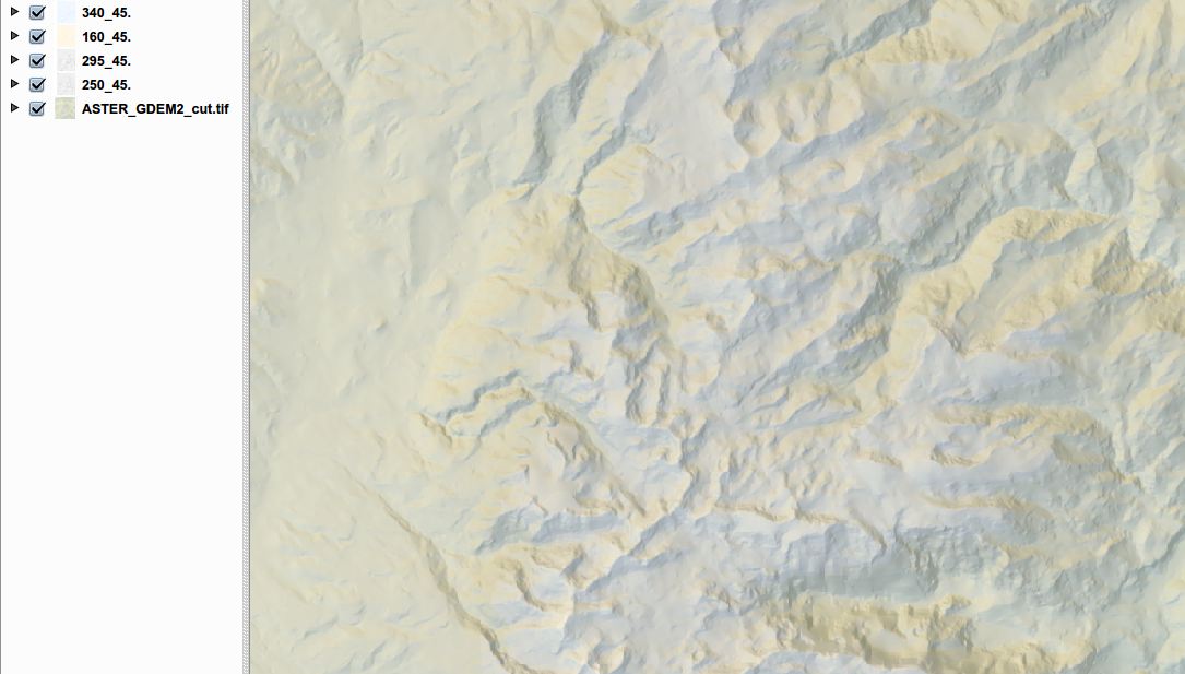
I made a multi-hillshade with 4 different light-directions and colors and stacked one above the other, each with its own transparency. Now I want to "save" the result in one raster-image.

What's the best way to do that? And is that the "right way" or are there alternatives?

enter image description here

0

1 Answer 1

2

You could generate an HDR image or use GIMP to flatten/merge all those layers.

Since you are using open source tools there is also either Luminance HDR or Hugin to do the HDR'ing.

You can start by generating world files for your hillshades. In the end you will only need one of the worldfiles to apply to your final hillshade.

When doing the HDR, do not alter size or extent of image. Don't allow the pixel size to be change in regards to 'size' as well. If anything like those change, your georeferencing will be lost and trying to apply the worldfile will be meaningless.

Once you have a final image, copy and paste one of the world files into the same folder as the output image and rename it to match the image-name but retain the worldfile extension.

For some info on an HDR processing using linux see: HDR and Linux by Edu Pérez. That article is kind of dated, so some of the flags and whatnot may of changed or others added to the programs he's mentioned.

Another option is to use GIMP in the similar fashion you are overlaying your images in QGIS.

Load the images as layers into GIMP then apply your desired transparencies, colour ramps and what-not, then export/flatten as one whole image. This method also requires that you have a worldfile ready to apply to this final image, or just overwrite a copy that has a worldfile already.
3
  • Thanks for that solution, but how can I "export" my Raster-Layers with the qgis-colortable to use it in Gimp, save and get it back to qgis?
    – MartinMap
    Commented May 11, 2012 at 8:55
  • That's the part I am not sure of. So the above suggests you take the 'raw' hillshade, unaltered, and take it to GIMP, then apply your colour ramps/gradients and stack them however you like, then flatten the layers into one or just export/save over a copy of the original. This means that all the colour managing/stacking you've done in QGIS will need to be re-done in GIMP.
    – SaultDon
    Commented May 11, 2012 at 16:01
  • Also, see this similar questions answer: gis.stackexchange.com/a/24751/1297 There are some interesting links explaining the 'Raster Terrain Analysis' plugin for QGIS. Though It doesn't composite/flatten rasters to a single one, you can still apply a colour ramp.
    – SaultDon
    Commented May 11, 2012 at 16:09

Your Answer

By clicking “Post Your Answer”, you agree to our terms of service and acknowledge you have read our privacy policy.

Not the answer you're looking for? Browse other questions tagged or ask your own question.