When you are Georeferencing in QGIS you need to adjust the raster to the CRS of your satellite map, the raster is without CRS it's just a photo at this point. Look at QGIS lesson for more explanation.
I am using OSM maps, so when I am uploading the raster into the Georeferencer I set the CRS to WGS 84 / Pseudo Mercator projection.
Now you need to mark location in the raster and then in the satellite map. Me advice is to find a location of a city like Chame in the raster and then use the GeoSearch plugin to find the same location in the satellite map.
From my experience in this kinds of map it is best to make at list ten points, to erase points with a long red line and scatter the point as much as passable.
For example would erase all of this points . 
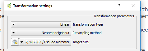
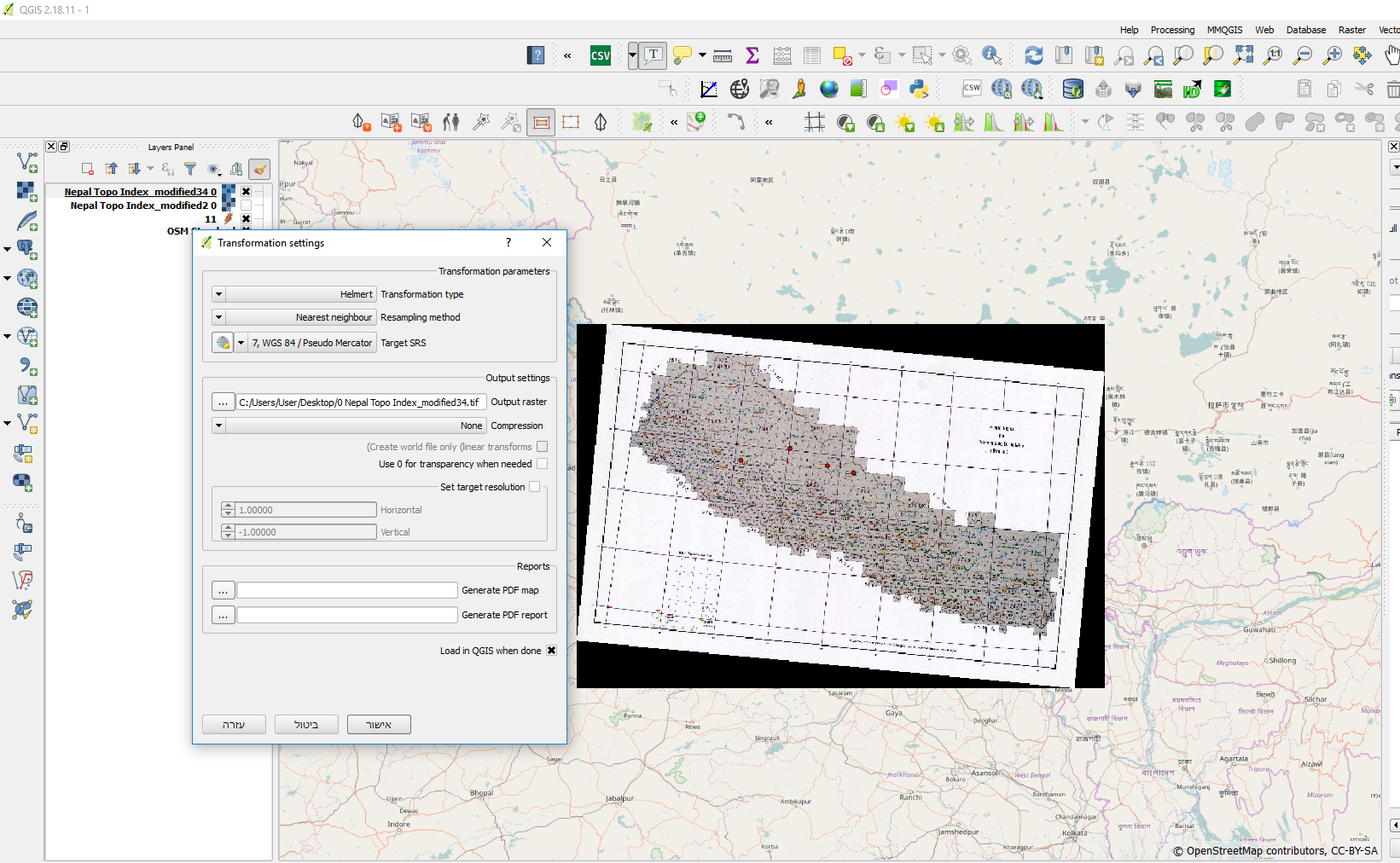
Now you have to set the transformation settings (the yellow wheel icon). At first I used this ones 
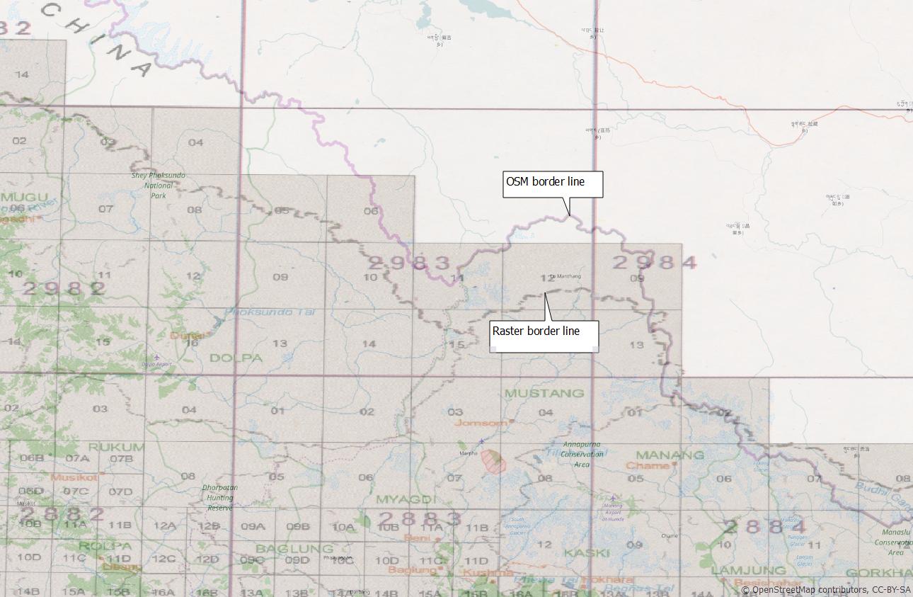
and the map position was not accurate.  Then I tried the Helmert transformation type and the map position looks much better.
I think that your main concern are the lacks of details that make it hard to much the exact location in the raster and in the satellite maps.
It is pretty passable that you cannot make a perfect georeferenc especially if the raster maps are not accurate. On the other hand, I used only for points and it the map was in the general area, I am pretty sure that more points will make it much better.


