2

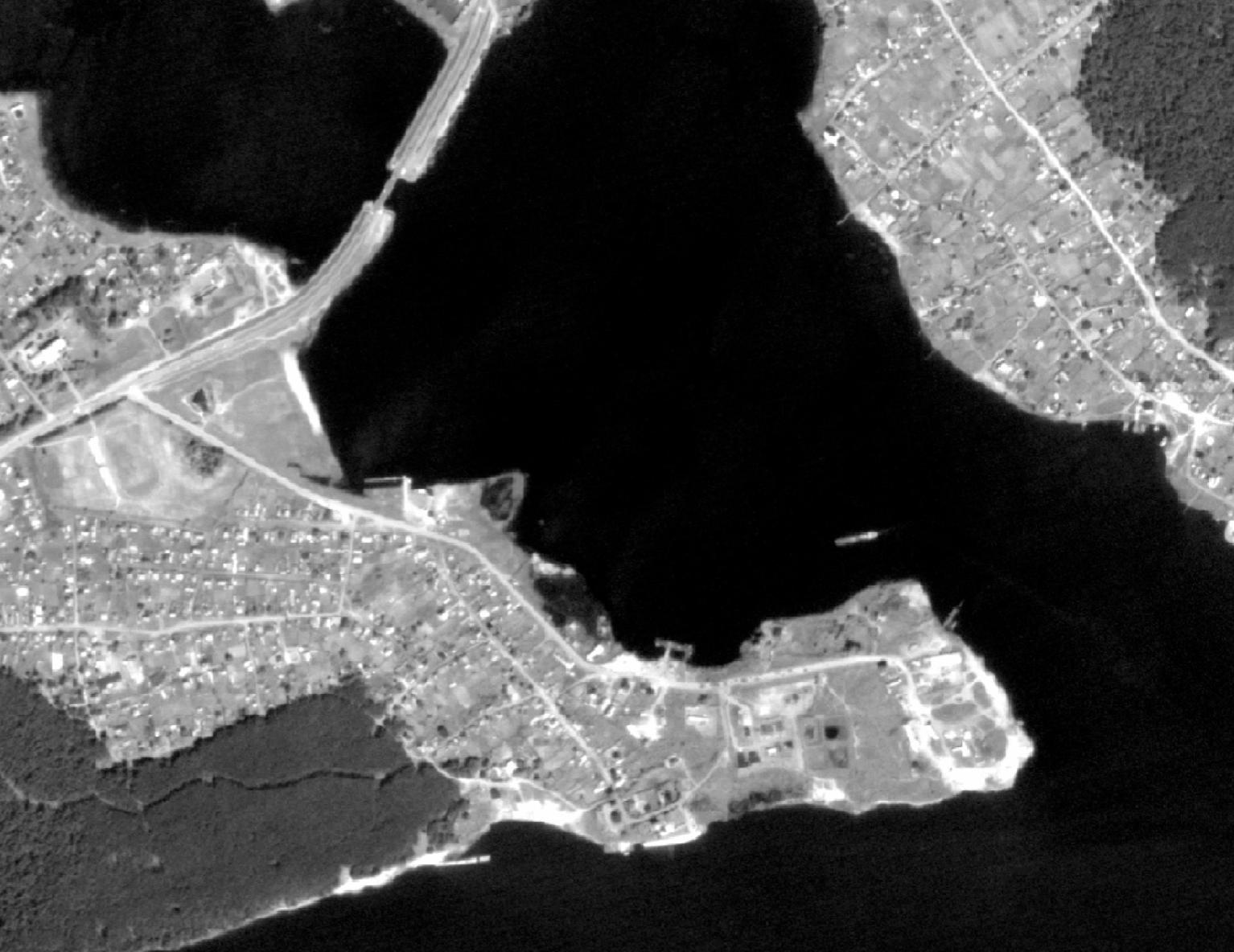
I have a panchromatic satellite image with a large coastline area and my goal is to delineate this coastline with a maximum accuracy and minimum amount of manual work. What is the best option to accomplish this?

I do not have either DEM nor other spectral bands, so these solutions do not work:

Here is a small area of the original 2-meter satellite image I have:

enter image description here

6
  • 2
    If that's all you have then you really have a serious problem. You could give supervised classification a go but I have my doubts that it will return anything like what you need. If you can source some infra red bands your chances of automatically classifying sea/shore edge get better. Perhaps you could start with SRTM to approximate your coastline and use that to limit your processing area to save some cleaning up later. Commented Sep 3, 2017 at 23:58
  • 1
    I would explore image segmentation with Python's opencv package. Here is a blog post that will hopefully get you started: learndeltax.blogspot.com/2016/02/…. Python's scikit-image package is also excellent for digital image processing: scikit-image.org/docs/dev/auto_examples
    – Aaron
    Commented Sep 4, 2017 at 4:55
  • 1
    I got a decent result thresholding then grouping low values . What software do you have available?
    – user2856
    Commented Sep 4, 2017 at 5:16
  • @Luke you name it. What would you recommend? Your thresholding seems pretty good, although there are some brighter water areas present on this image, too
    – Basile
    Commented Sep 4, 2017 at 9:32
  • @Aaron thanks for the information about those packages, especially scikit-image! Do you have any experience of converting non-georeferenced outputs of those algorithms into georeferenced ones (i.e. detected contours to shapefiles)?
    – Basile
    Commented Sep 4, 2017 at 10:42

0

Your Answer

By clicking “Post Your Answer”, you agree to our terms of service and acknowledge you have read our privacy policy.

Browse other questions tagged or ask your own question.