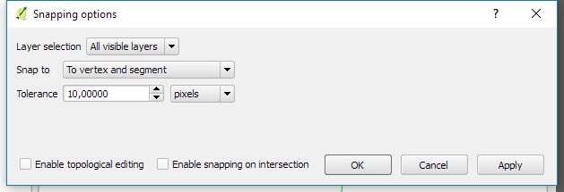
I have a point layer and a line layer coming from PostGIS. Points represent sensors (two for each side of the road), lines are GPS tracks. I need to move the sensor locations towards the lines. As I cannot take the closest track in each case, I decided to do it manually because I only have around 100 sensors.
That's easy to handle in QGIS, right? But to my surprise, I'm struggeling to activate snapping when moving points. I've enabled snapping for the corresponding layers and I can see that it would work when creating new features but not for moving them. According to this source, I should use the node tool. While it's possible to snap two points with each others they still not land on the track. Are there any other options I missed?

