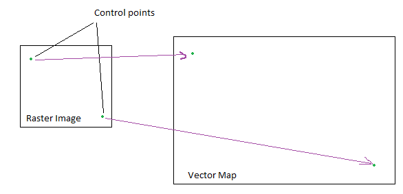
I am trying to overlap the vector and raster data. I have two control points on both raster and vector data. Now I want to generate world file parameters for overlapping two data. I am using DotSpatial (github DotSpatial) as an base library for rendering the GIS data.
My control point on raster image are: (x1,y1) and (x2,y2) and control point on vector data are: (u1,v1) and (u2,v2).
How can I generate the required parameters programmatically?
Parameter details are here
I need something like below

