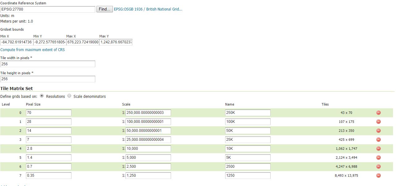
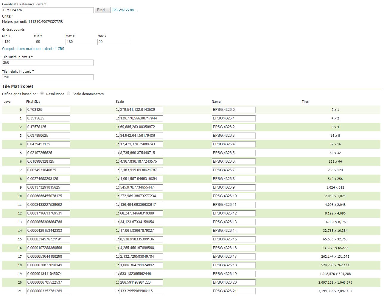
First up I've found several other posts on the same topic but neither seem to resolve my problem.
I am trying to create a geowebcache using the embedded geowebcache in Geoserver version 2.11.2
I have been working with two layers both have same problem. I've set the layers up in Geoserver using the extents computed from the SRS bounds. I have set up gridsets and seeded the tilecache. I can see this has been successful from the Tilecache preview in Geoserver.
If I then call the WMS from QGIS then the tile cache is not used (and is very slow as a result).
If I use curl to test the request using a URL I pulled from the layer preview in Geoserver I get the following result of misaglined grids:
geowebcache-cache-result:MISS geowebcache-miss-reason: request not aligned to grid(s) 'EPSG:27700'
The first layer I've worked with uses EPSG:27700
The curl request uses:
C:>"C:\Program Files\cURL\bin\curl" "http://host/geoserver/ws/wms?service=WMS&version=1.1.0&request=GetMap&layers=ws:Aerial%20Imagery%202016&styles=&bbox=383000.0,380999.999998459,400999.999998448,395999.999999761&width=768&height=640&srs=EPSG:27700&TILED=true&FORMAT=image%2Fjpeg" -w content_type -v >nul
The second layer is actually one of the sample layers and sample gridsets that come as part of the Geoserver. I've used this as test to exclude any variables I may have introduced. However I get the same result.
Layer users EPSG:4326
The curl request is: C:>"C:\Program Files\cURL\bin\curl" "http://host/geoserver/nurc/wms?service=WMS&version=1.1.0&request=GetMap&layers=nurc:Img_Sample&styles=&bbox=-130.85168,20.7052,-62.0054,54.1141&width=768&height=372&srs=EPSG:4326&TILED=true&FORMAT=image%2Fjpeg" -w content_type -v>nul


