I have a line shapefile in QGIS, my project and layers CRS is MGI 1901 Balkans zone 7.
When I import it in Google Earth it is misplaced a little. I understand that Google Earth is in UTM and mine is in TM, so how can I solve this and have it placed correctly?
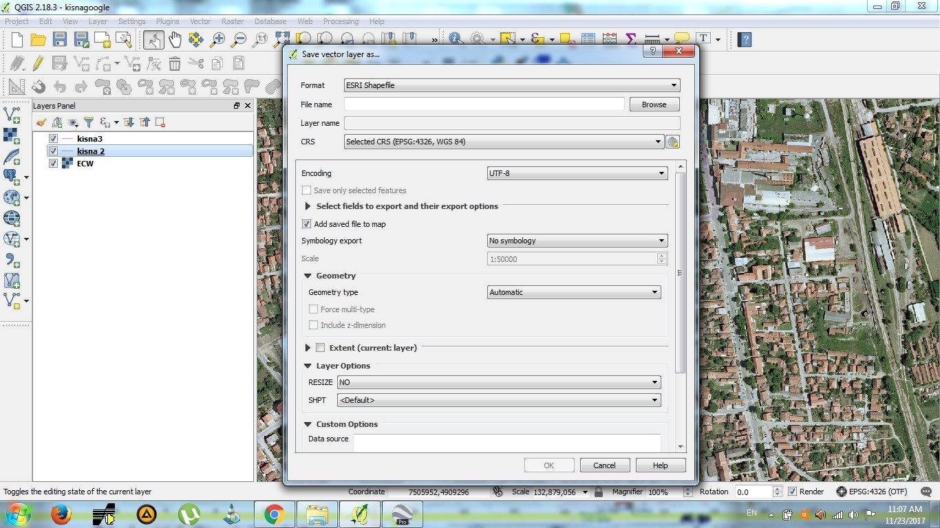
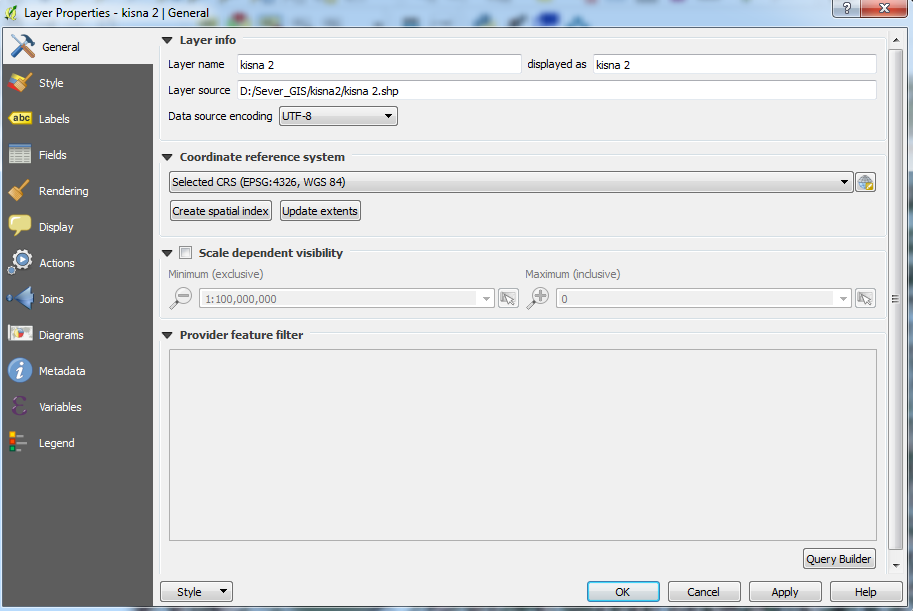
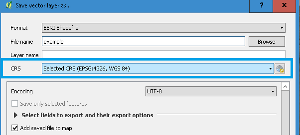
Here are screenshots of data properties and export dialogue


