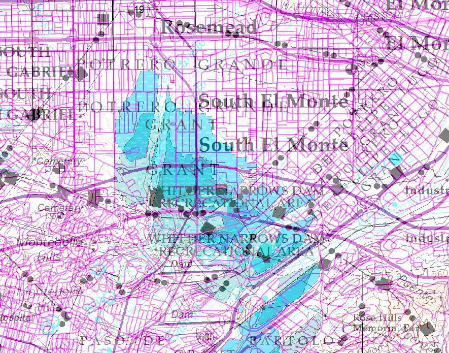
Has anyone created a dataframe geotiff using arcpy.mapping.ExportToTIFF() with satisfactory results?
My output has poor quality and the georeferencing is significantly off.
This example is the geotiff at 50% transparency on top of my data. The shift between "South El Monte" is the best shift example.

Here is an example of the code:
currentMxd = arcpy.mapping.MapDocument(r"F:\Test\amp_Edit.mxd")
dataFrame = arcpy.mapping.ListDataFrames(currentMxd, "Layers")[0]
arcpy.mapping.ExportToTIFF(currentMxd, r"F:\Test\outtif.tif", dataFrame, df_export_width = 46000, df_export_height = 29000, resolution = 1000, geoTIFF_tags = True)
