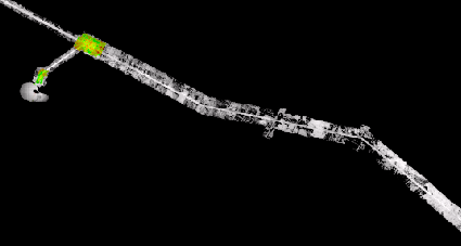
I have a tif (raster) that I need to generate a polygon around the data within the tif, not just the extent of the entire raster. The image below shows the type of data I am working with. I have ArcGIS 10.5 with 3D Analyst and Spatial Analyst extensions.
1 Answer
One approach is to reclassify all cells that have a value to 1 and the leave nodata as nodata, so you end up with a binary raster of 1 or nodata. Then use the raster to polygon tool to convert it to a polygon.

