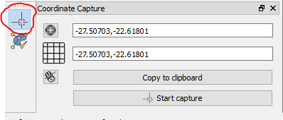
I am new to QGIS, and assume this question is a basic one and can be easily answered. However, I was not able to find the answer by trying things out, searching the web, or reading QGIS tutorials.
I want to export a png showing a section of a map from QGIS (I used Natural_Earth_quick_start_for_QGIS.qgs with WGS 84 / Pseudo Mercator) and want to know the extent in latitude and longitude values.
I tried to do that with the Print Composer. I tried to set distinct lat/long borders in Extents, but I really wasn't able to find a mapping between lat/long values and the values in the Extents edit fields.
As stated above, I was not able to find the answer in tutorials (e.g. http://www.qgistutorials.com/en/docs/making_a_map.html) and the description in the doc isn't helpful either, see https://docs.qgis.org/2.8/en/docs/user_manual/print_composer/print_composer.html#extents
I want to be able to use two approaches:
- Define a map section by mouse, as possible in the
Print Composer, and obtain the corresponding lat/long borders. - Set the lat/long border values manually an obtain the corresponding map section.
How can I do that?

