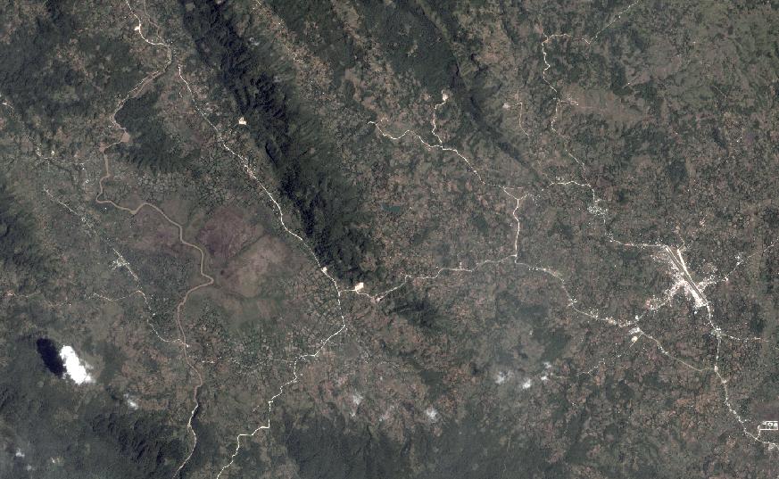
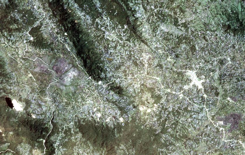
I have a strange problem. I have noticed that the same satelite imagery looks totally different in QGIS and ArcGIS.
The problem is that I need to get the same style in QGIS. I've tried to calculate statistics for every band in ArcGIS and applied this values to a display properities in QGIS but it doesn't work.
Manipulating standard deviation values in QGIS helps a liitle bit but the whole image is still more blue than it should be.
Can anyone give me some clue what can I do to improve this image style in qgis?


