11

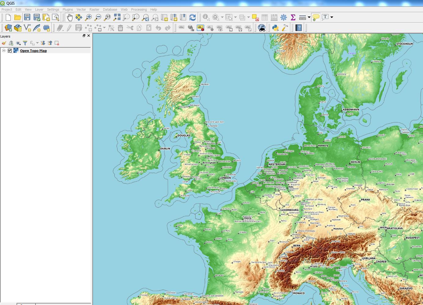
I've installed QGIS 3 today. I found the xyz tiles option and have added e.g. google, openstreet, and ESRI Topo. These all work and show the map. Now I'm looking for a topo map, so ESRI topo is a nice starting point. Unfortunately I find it a bit blurry on the font, and the lines a bit to light.

Does someone know working XYZ topo entries? I can find some XYZ tile servers for topo, but they are often not downloading tiles

2

3 Answers 3

13

5
  • 1
    ahh thanks, you corrected my url for it. Mine was wrong. Commented Mar 15, 2018 at 11:55
  • @Edgar - Most welcome! Hope it provides a clear-enough map :)
    – Joseph
    Commented Mar 15, 2018 at 11:59
  • Yep. I also made a free thunderforest account. Trying to get that one running now too (works with an API) Commented Mar 15, 2018 at 12:15
  • 1
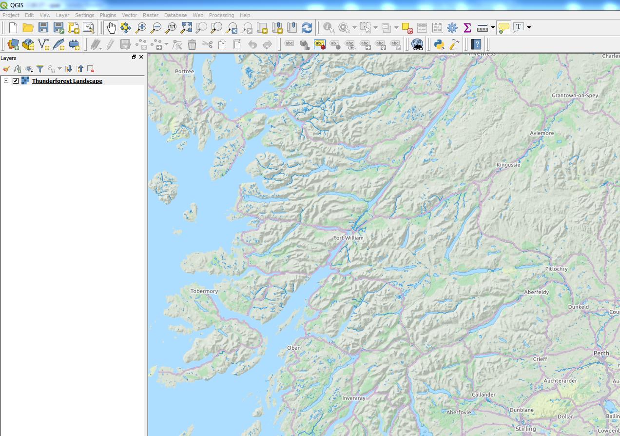
    @Edgar - The Thunderforest URL would be something like https://{s}.tile.thunderforest.com/landscape/{z}/{x}/{y}.png?apikey=YOUR_API_KEY. Just remove {s}..
    – Joseph
    Commented Mar 15, 2018 at 12:26
  • Yep so it is. I hadn't time to post that here back yet. Commented Mar 16, 2018 at 13:25
2

My favorite XYZ topo server is ESRI's World Hillshade, which is not included in Klas Karlsson's popular python script.

http://services.arcgisonline.com/ArcGIS/rest/services/Elevation/World_Hillshade/MapServer/tile/{z}/{y}/{x}

I recommend setting the blending mode to "multiply" (which effectively makes the white pixels transparent) - this looks great as an overlay (as described here).

2

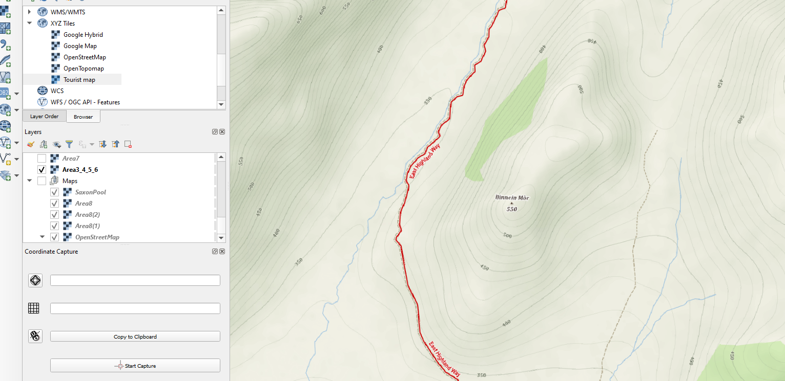
Try also the mapy.cz XYZ tiles.

The thread is here:

https://napoveda.seznam.cz/forum/threads/68508/1

The link to the topographic "Outdoor" version is here:

https://mapserver.mapy.cz/turist-m/{z}-{x}-{y}

It works perfectly. Sometimes you can encounter labels in the Czech language, but it's a minor problem.

enter image description here

Your Answer

By clicking “Post Your Answer”, you agree to our terms of service and acknowledge you have read our privacy policy.

Not the answer you're looking for? Browse other questions tagged or ask your own question.