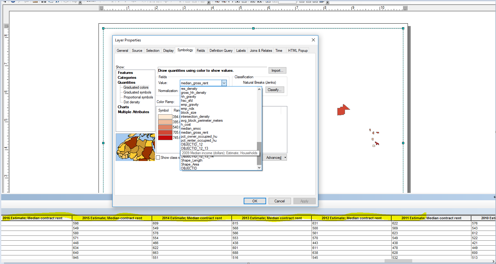
I am using ArcMap.
I joined table data to the latest TIGERLine tract shapefile for my county and exported the data. When I attempt to create a choropleth/thematic map, many of the fields in the table are not visible/options to choose from the Value Field in the Quantities symbology. E.G. I cannot find/choose 2015 Median Income as a value for a graduated color map.

