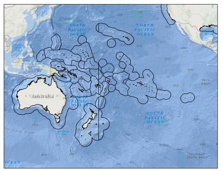
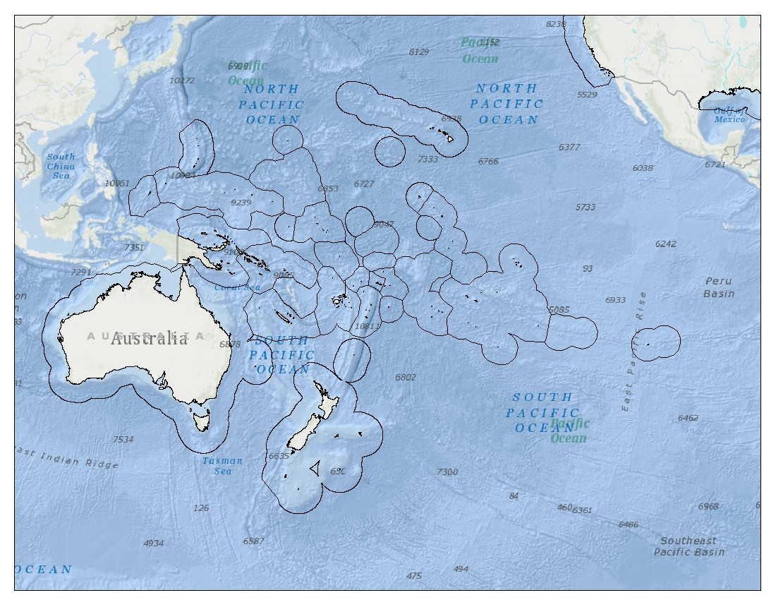
In ArcMap 10.2, I am trying to render a shapefile with polygons in the Pacific Ocean, which span the 180-degree line. The resulting image shows a line going through the polygons at the meridian, and I would like to know how to avoid this. Note: the polygons are not split into separate features in the attribute table, they are simply rendered with a line through them.
My basemap is in WGS_1984_PDC_Mercator coordinate system, with Central_Meridian: 150.0, so as to depict the Pacific Ocean in one piece (rather than split on opposite sides of the map). I've tried projecting the polygon shapefile into WGS_1984_PDC_Mercator, as I understand this is a Pacific-centered projection. However, this does not get rid of the line.


Dissolveafter the projection.