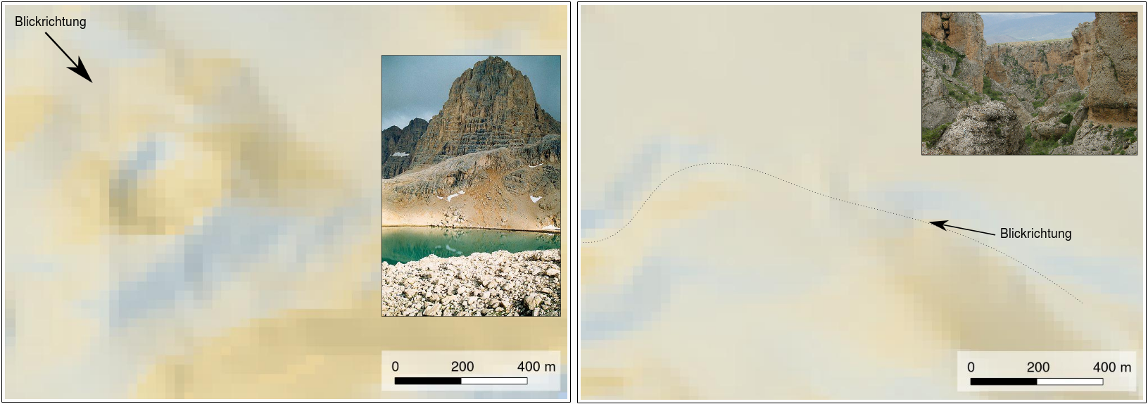
I have a problem with my DEM again. I decided to use ASTER GDEM2 (for different reasons). ASTER GDEM2 have its problems, I know, and I dont want to discuss that again. I have to use it, because SRTM (USGS, CSI; Viewfinder) is not usable for my purpose.
So, there are 2 bad areas in my ASTER DEM:

These areas a nearly okay in CSI so I could fill these errors of the ASTER GDEM2 with it. But I guess, the result wont be as good as I want to (the mountain in fact is 500m from ground! SRTM say 350m). I also have a topographic map, a very old one, but the contours seems to be more accurate then SRTM and ASTER.
How can I correct the ASTER GDEM with SRTM or analog contours from my map?
Thanks!
